17 Oct
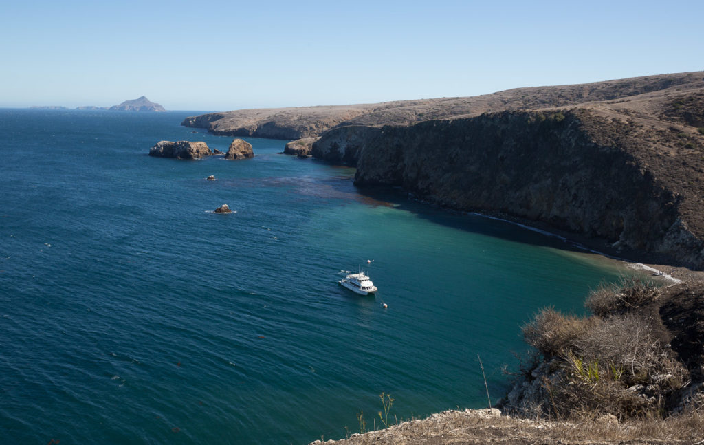
We began by driving north to Ventura to the Channel Islands National Parks. We arrived to be told that although there was a boat about to set out for the island of Santa Cruz, conditions would be very rough, and, as the jetty there had been declared unsafe, we would have to go ashore in a skiff, and would probably get wet, and maybe seasick, so were we really sure we wanted to go?
Well, that was a good sales pitch, designed to put anyone off – so of course we said we would, and proceeded to offload all our water sensitive gear to leave in the office. The boat trip took a little over an hour and it was rough, with the onboard announcement following the theme of the politically correct way to throw up without inconveniencing other passengers!
Needless to say nobody threw up!
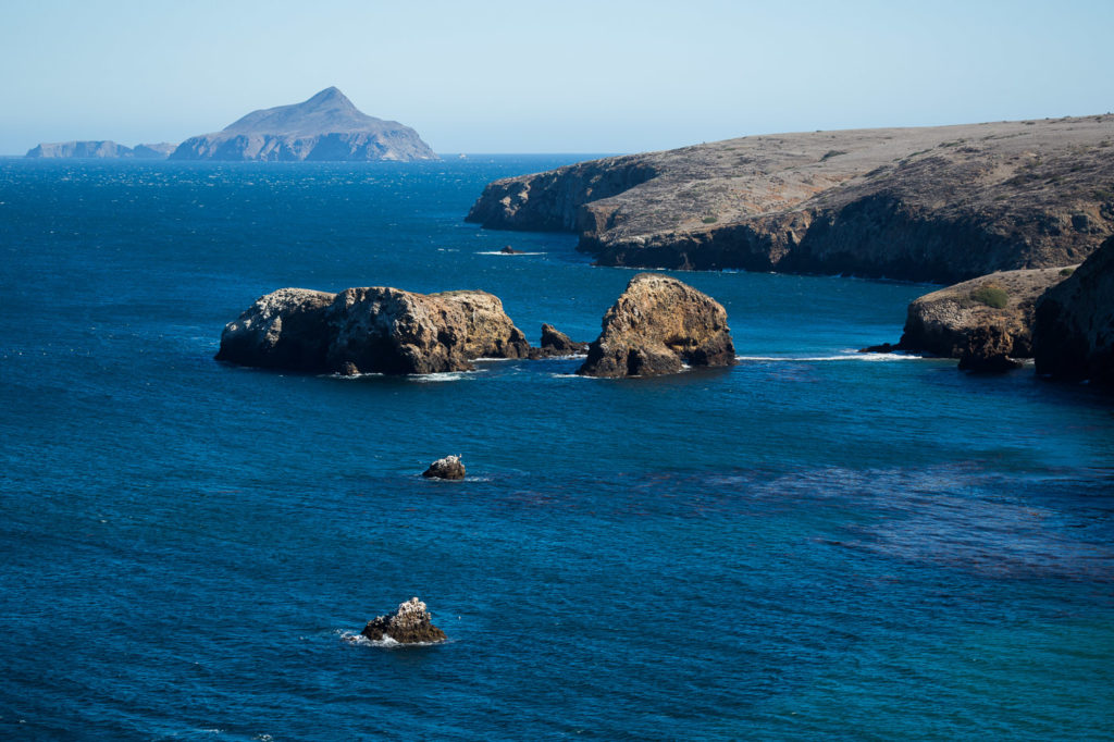
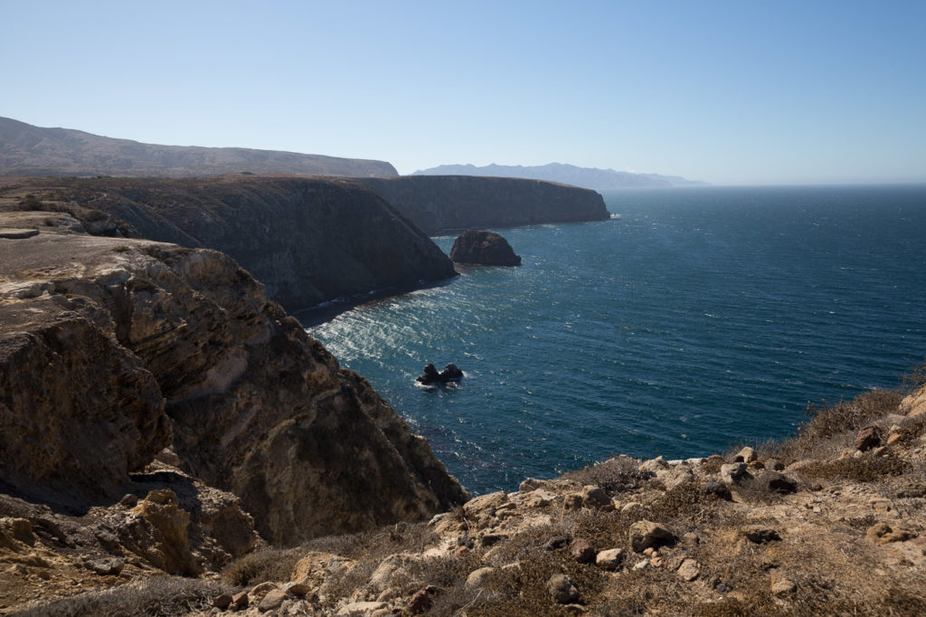
We had a short guided tour through the remnants of an old settlement and then up to the high ground with a spectacular view across to the island of Anacapa which is an island at high tide, and three islands at low tide, and to the distant mainland. An ancient local Indian tribe inhabited the island for thousands of years, trading with the other islands and the mainland. The Spanish and the missionaries arrived and that was the beginning of the end for the local Indians.
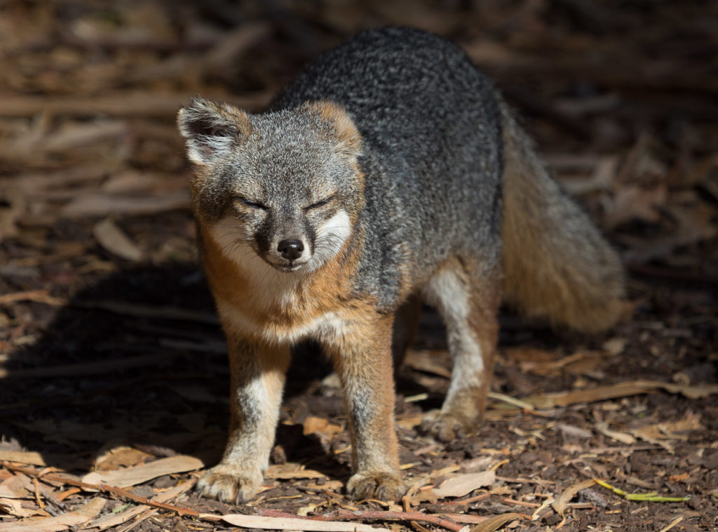
A family moved to the island, building the settlement and working on sheep farming, with the remains still present, an old blacksmith shed, and a building which was originally accommodation but now houses a small historical display. The predominant wildlife is the local Santa Cruz fox.
Back to LAX to return the car, via a pleasant restaurant right over the breaking waves at Malibu.
18 Oct
This morning we called an Uber car to pick us up to take us to LAX for our flight to Denver. The driver arrived in a Prius and when he saw us with all our bags he was adamant that “This won’t work, I guarantee.”
We had one large suitcase each plus Elly’s camera gear and three backpacks. We said we would give it a try, so, with the driver mumbling angrily we proceeded to fit ourselves and all our baggage into his Prius.
At Denver the car rental guy talked us into a bigger car, which turned out to be a good thing, and he gave us a good deal. We then set out to drive 4 hours west through some beautiful country on winding roads through surrounding hills with leaves starting to turn for Autumn ( sorry – Fall) past the ski town of Vail to our overnight stop at Grand Junction. En route we passed lots of trucks, and I noticed one trucwith one of the best signs I have seen:
“You don’t like trucks?
Well stop buying STUFF,
Problem solved!”
19 Oct
From Grand Junction we drove west towards Canyonlands National Park. Bev was doing her first stint of driving and I must say she immediately became the most demanding driver of all. ” Do this, do that. Tell me in enough time when I have to turn, tell me if I’m on the wrong side”. Actually she did a very good job (if bossy). A much better job than I did! I kept spearing off into exits we didn’t want to take.
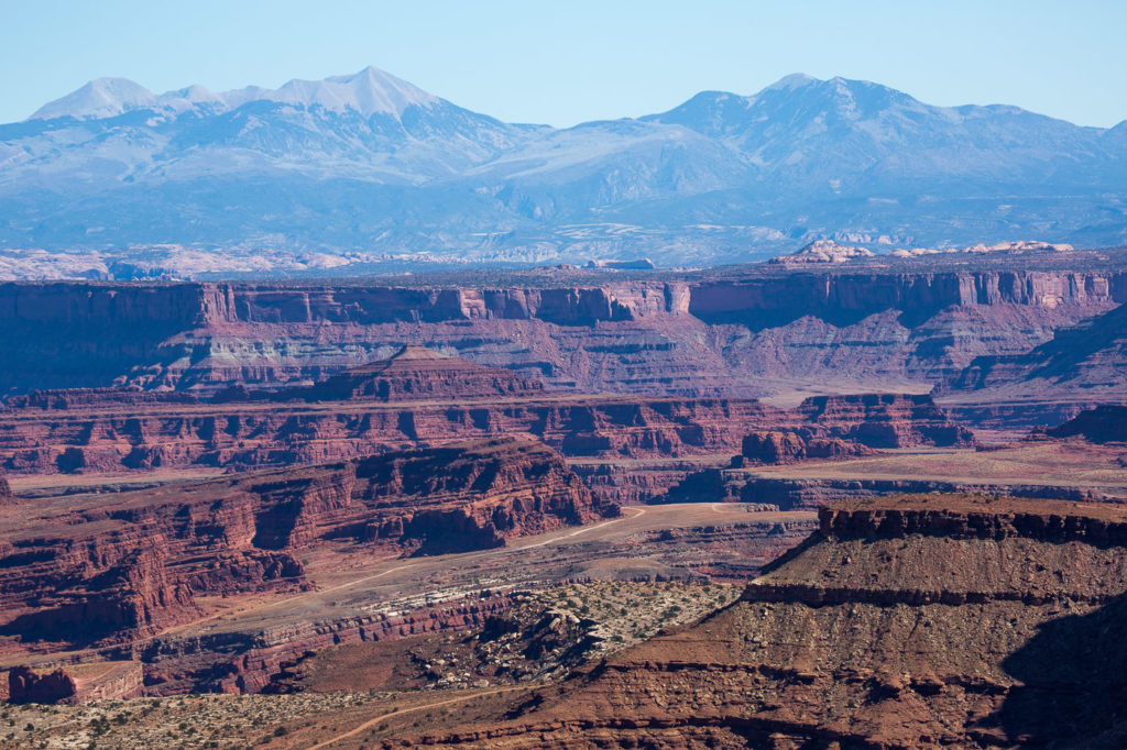
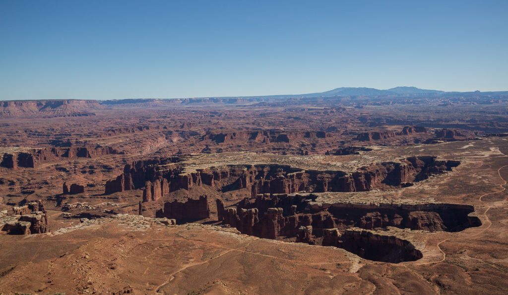
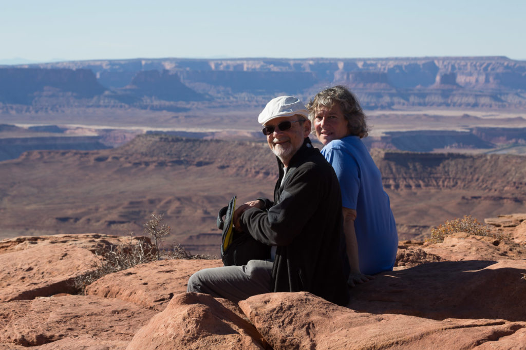
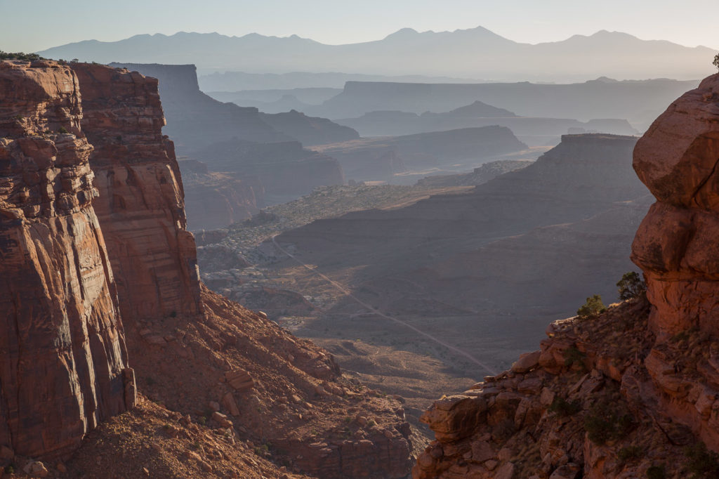
Canyonlands is an enormous area of, you guessed it, canyons. We stopped at many lookout points, some requiring a bit of a trek. The scope and beauty was something to behold. Looking down over the canyons it appeared that they had been formed by the long term erosion of a river system, but apparently this is not the case. The explanation given is that as rain falls on the upper levels, where we were standing, the water seeps down into cracks and crevices where, as the temperature falls, the water freezes and expands, forcing the crevices to expand. Eventually the crevices expand so much the rock actually falls away from the cliff to the canyon below.
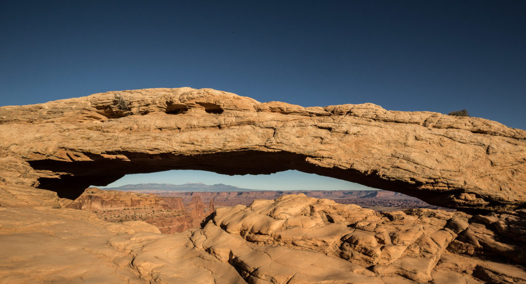
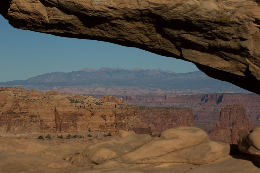
We also had a chance to see an unusual example of this when we visited the Mesa Arch, which as its name suggests is an arch right on the edge of a cliff face, supported at each end, but with the centre forming an archway as the sections of rock have fallen away from underneath the structure.
The breadth and the colours are difficult to describe, however Elly’s photos will help to convey the images we saw.
We headed for Green River lookout which is known as one of the best sunset viewing places in the Island in the Sky, which is the area of high ground which overlooks all the canyons.
This was for another Elly sunset photo. She set her camera and tripod up, along with several other photographers and observers. This sunset, although lovely, didn’t pass muster according to Elly’s assessment, so it appears that our standing wait in the cold was to no avail.
From Canyonlands we drove to the town of Moab to our hotel, as our adventure for the next day was to be The Arches National Park nearby.
From what we could tell Moab exists simply because of its proximity to The Arches. There are no cheap hotels there, and the Main Street was lined with diners and restaurants and accommodation.
We chose a restaurant on the recommendation of the hotel, and it turned out to be the usual American food with a baseball match playing on several screens. however we did get a drink – this is Utah after all, so we did well. We did notice a T-shirt for a beer Polygamy Porter
“Why have just one?”
Actually Andrew had one of those at a restaurant later.
The label on the back of the bottle says:
Take some home to the wives!
20 Oct
Today we were venturing out to The Arches National Park, but prior to leaving, Elly, had found someone who advertised photographic tours of the parks, both early morning sunrise trips and sunset/night tours as well. This, of course, was irresistible to Elly, so she booked both for the next day. Andrew and Bev volunteered for the morning tour. This meant that I would get a sleep in, which could only be good news.
We drove out to The Arches entrance to find a long queue, which we found, after tuning into the park radio station, was due to the fact that we had arrived at the beginning (Thursday) of a very long school holiday weekend. However, they just opened a second queue as we arrived, and we were at the front of it, so we passed through painlessly.
The park has a road through it about 40 miles long, with various stopping points along the way to view significant sections. These are usually coupled with walks from a few minutes to two hours round trip to get to the optimum viewing points.
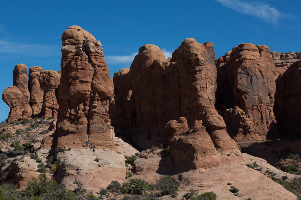
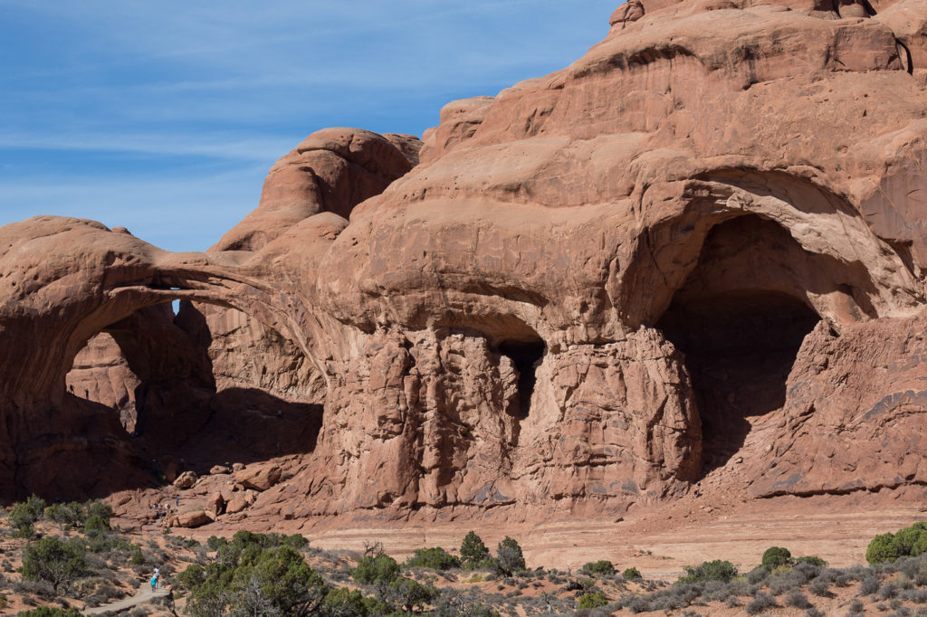
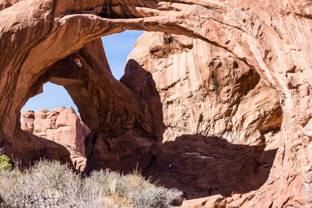
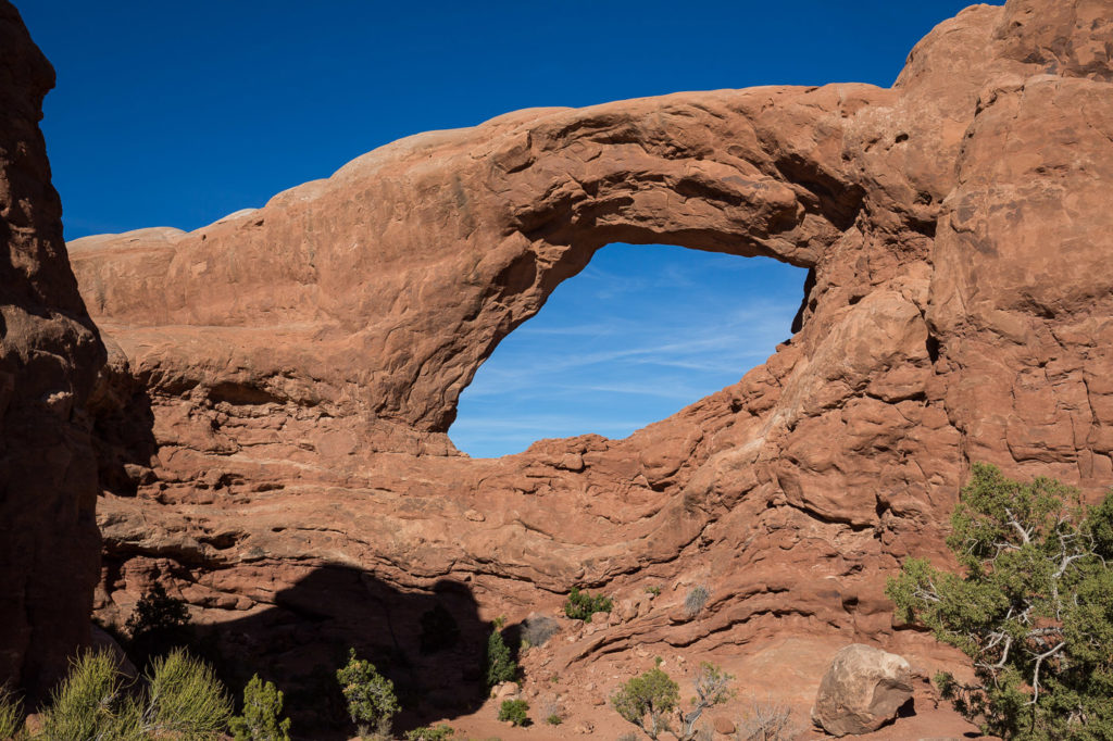
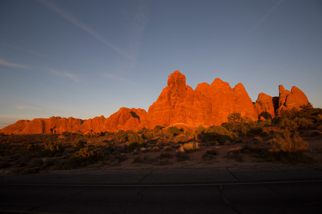
This park is extraordinary with towering rock walls called Fins, which have been created by the same process we saw in Canyonlands, with water seeping into cracks and expanding as ice, forcing the rock sections apart. These then become candidates for creating Arches due to the attrition at the base increasing with sections falling away to form the arch.
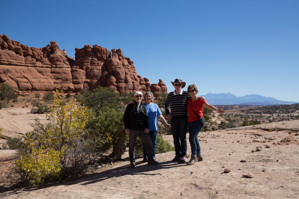
The park is obviously known for its Arches, but there is such a sweeping variety of soaring rock edifices of all shapes that it is difficult to take it all in. Red is the predominant colour, but there are subtle variations of blue, and the green of the sparse vegetation.
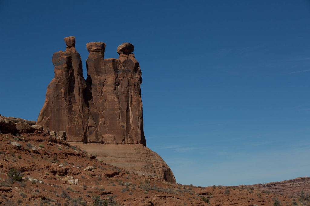
Some of the vast rock walls that surrounded us reminded us of Petra in Jordan, but without the signs of human intervention that Petra presents. There are sheer rock wall faces, there are free standing towers of rock, there are enormous rocks poised precariously on top of pillars, threatening to fall at any moment, and interspersed amongst all this are various versions of the amazing Arches.
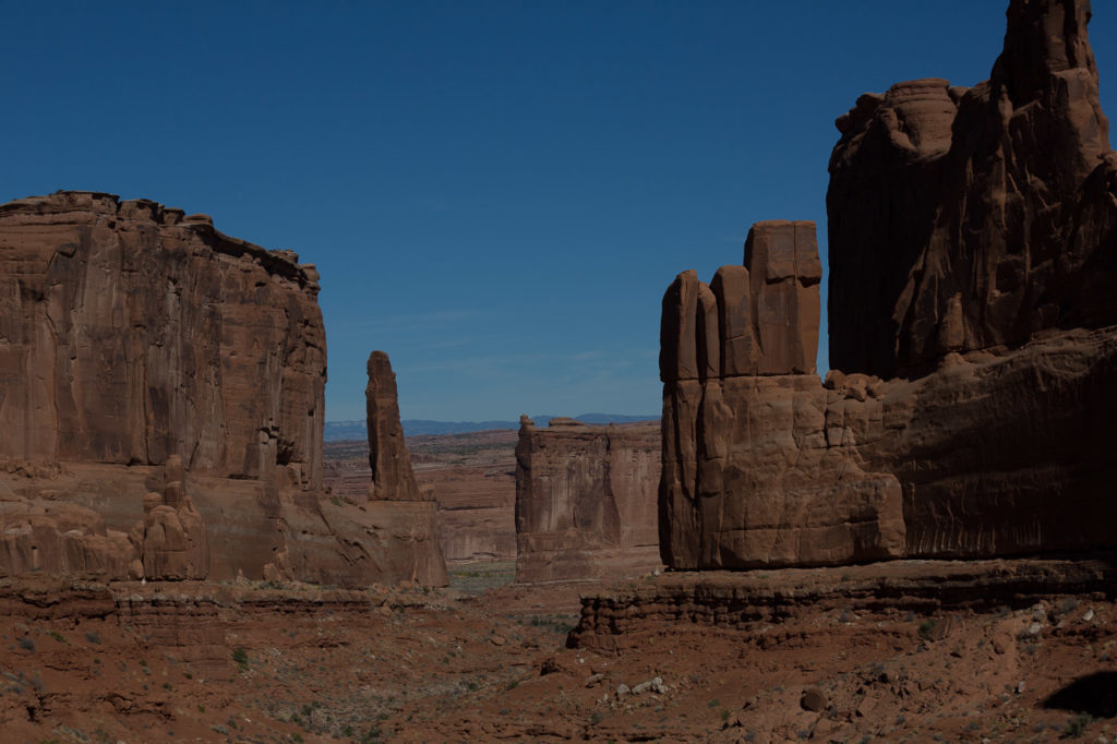
- Park Avenue Trail
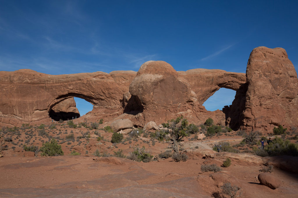
- Double Arch
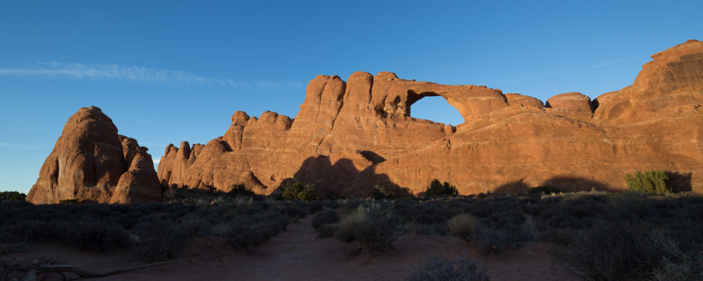
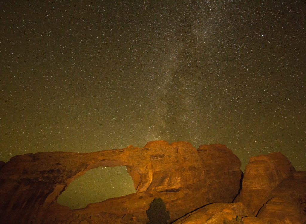
- Skyline Arch
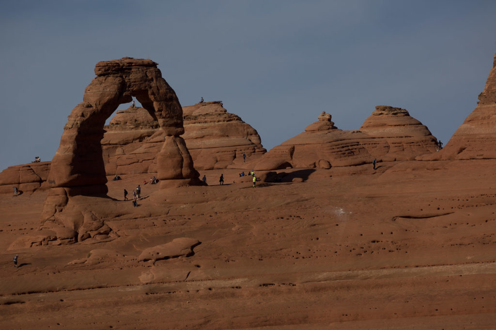
- Delicate Arch
- Skyline Arch
- Sunset
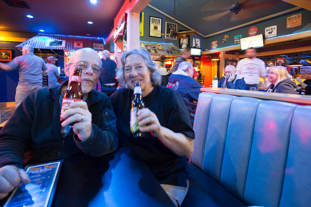
At the end of the day we drove back into town to find a restaurant, but Moab was jumping. Everywhere was full, but we found a cute place called the Blu Pig. We went in to find all the tables taken, but a group of bikies ( friendly guys) said they were just leaving, so we took their table. It did appear that we had somehow jumped the queue doing this, but nobody seemed to mind. This was a laid back place with a guitar/banjo playing singer, a baseball match on one screen and a football match on the other. The singer called up a woman who has a T-shirt shop in town, and also has a pretty good voice. They did a duet together, then she went back and sat down. Great atmosphere and we really enjoyed it.
An early night for the early risers next morning.
21 Oct
I had a good sleep and a relaxing morning catching up on the blog, which made a change from the usual scenario which has me trying to find some time to squeeze in a blog update. Of course this is used against me any time I might show signs of tiring.
“You had the whole morning off!”
Elly, Bev and Andrew arrived back from their early morning adventure very happy with what they had seen. Elly said she learned a lot, and remembered a lot she had forgotten. They toured the Canyonlands area and were taken to the special photo taking places, and were very happy with the knowledge and skills of their photographer guide, utilising the early morning light for their photos.
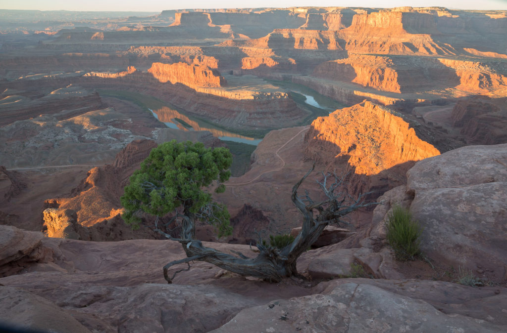
- Horse shoe bend, Dead Horse Park at sunrise
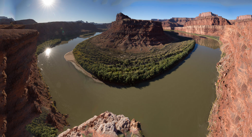
- Horse shoe bend at sunrise
- Sunrise at Dead Horse Park
- Horse shoe bend, Dead Horse Park at sunrise
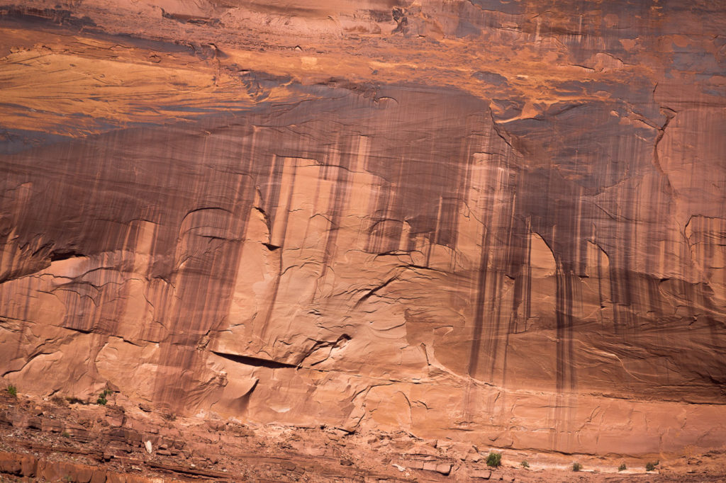
- cliff markings
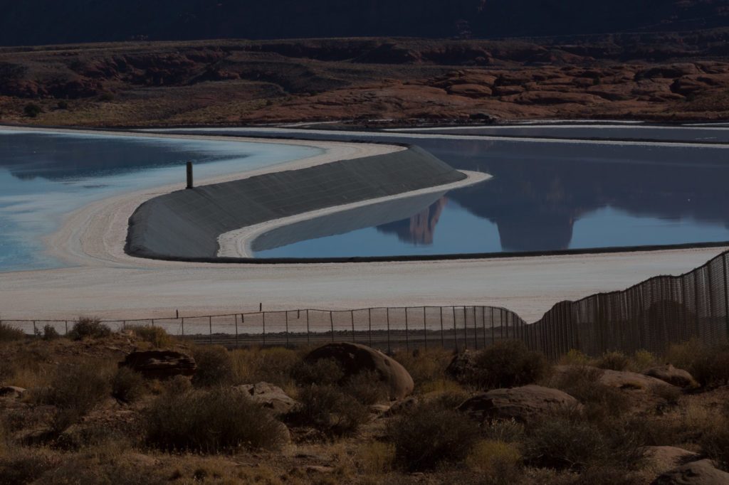
- Power plant at Canyonlands
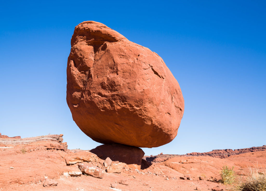
- Balancing rock
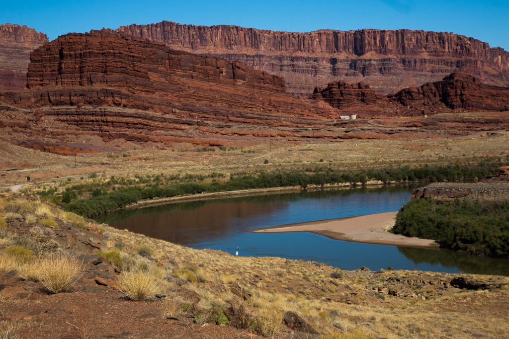
- Colarado River
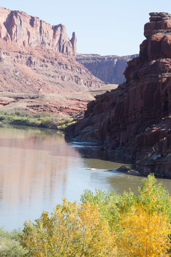
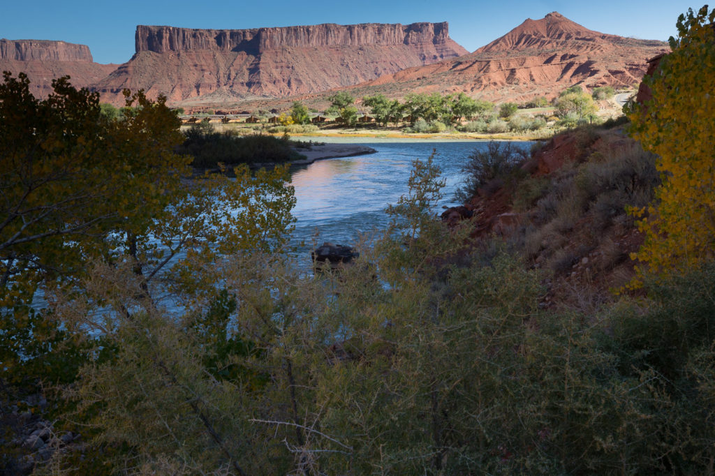
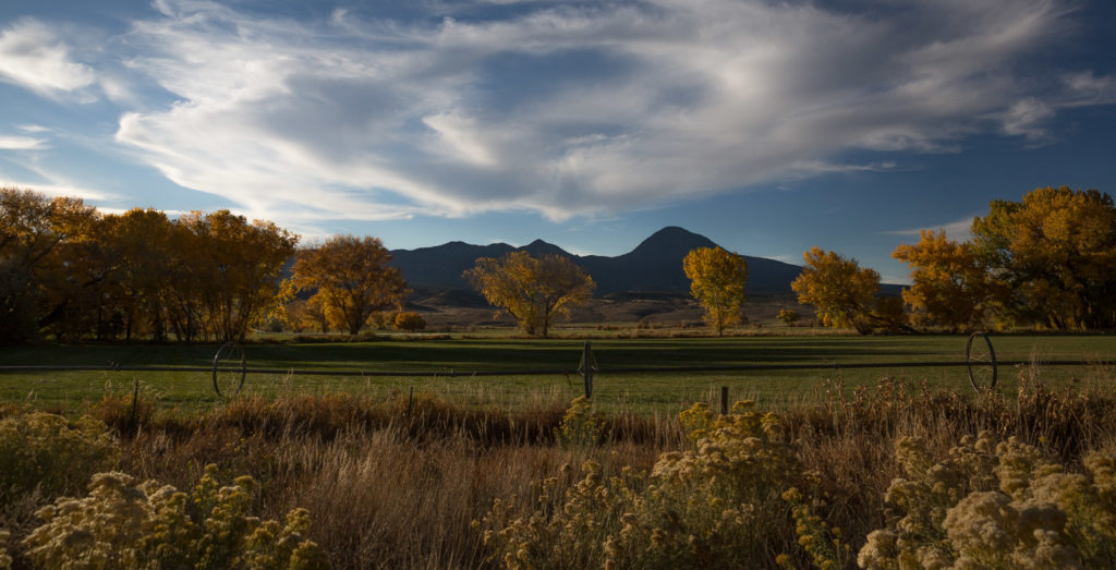
We spent a short time driving along the Colorado river, stopping at a beautiful ranch – very picturesque with trees in full autumn colours, a couple of horses being readied for guests to go riding, and some children getting up close and personal with some goats and tail wagging pigs at feeding time.
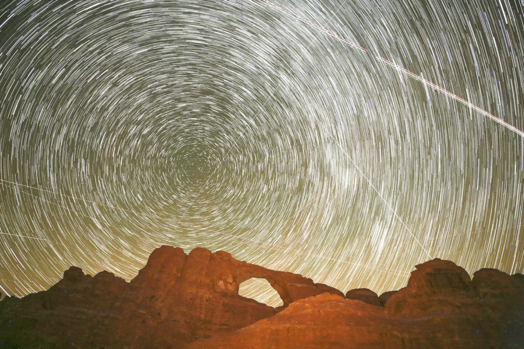
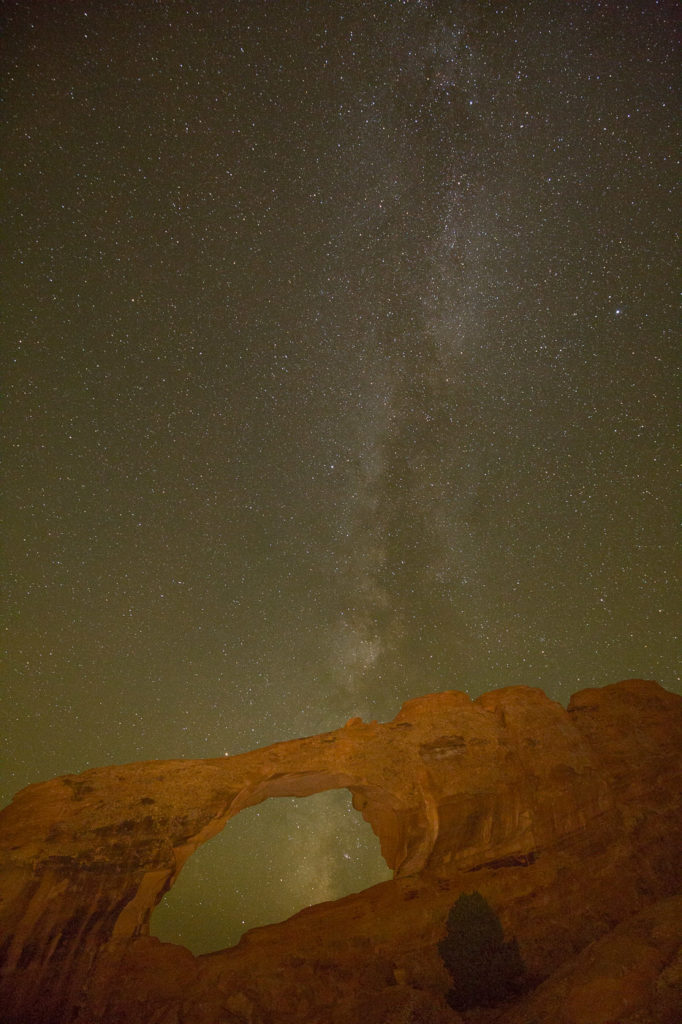
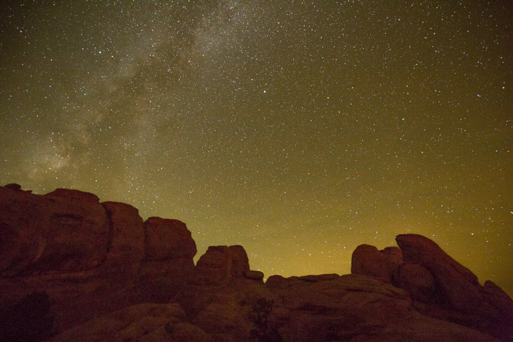
Elly set off on her sunset/night photo shoot and arrived back at about 10:30pm, very happy with what she had learned, with some fabulous night shots of the Arches and the night sky. Bev, Andrew and l walked to some nearby petroglyphs (rock art) & then enjoyed dinner at a cute Mexican restaurant.
22 Oct
We set out for the town of Bluff, near the Utah Colorado border. On the way we diverted to an interesting place by the name of Hovenweep. The drive was through very bare, sparse countryside, passing the occasional church as the only sign of civilisation. Bev commented that the difference between this and Australia is that in Aus it would be occasional pubs, not churches.
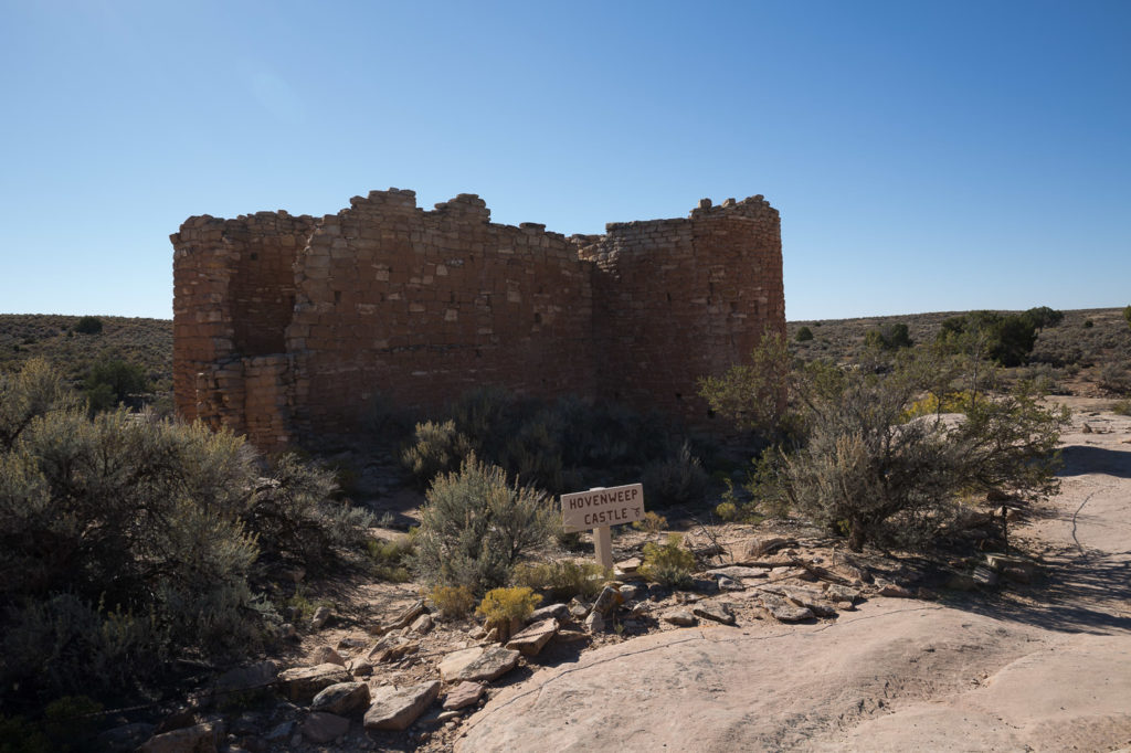
Hovenweep is an area which was inhabited by nomadic people who came together around 1200 AD to establish small communities, building stone structures on the rim of the high mesa surrounding and overlooking the canyon below. Remnants of these structures remain.
The people here are referred to as Puebloans, or Pueblo people, and they actively farmed the area. The stone buildings they created have left archaeologists unsure of their actual purpose, which could have been as residences, defence structures, storage, or all of the above. Some parts of the structures had beams of sun light striking specific places at the solstices and equinoxes, which may have been used to plan crop cultivation.
We did a short walk around the rim of the canyon, past a number of these structures some of which are: Stronghold House, Tower Point, Hovenweep Castle, Square Tower. The designs are all different; some with multi stories, some oval, rectangular or D shaped sections.
The name Hovenweep is a Ute/Paiute Indian word meaning deserted valley.
Most of the construction was completed between 1230 AD and 1275 AD and about a generation later the Puebloans had left. The reason for their departure is not known, but could have been drought, external threats, or some other cause. There is no evidence to indicate any reason, but their departure is around the same time as the people in Mesa Verde, an area we will visit later, left their area, again for no known reason.
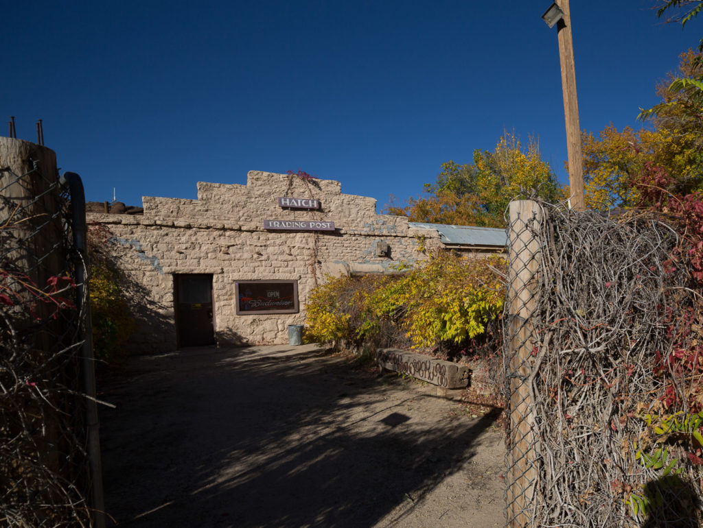
Leaving Hovenweep for Bluff, we came across a small dishevelled building tucked in amongst some small trees and bushes. This was the Hatch Trading Post, which Bev wanted to check out. Andrew googled and actually found it, including operating hours. It was supposed to be closed. Elly jumped out and checked and found that it was open.
We went in and found an equally dishevelled little old lady, who totally lacked any humour, and looked as though she may have spent her whole life in the little Trading Post. We bought a few icy poles and had a look around. It transpires that the little old lady had been serving there for 65 years! We thought maybe her last customer may have been about 5 years ago! The icy poles were about that old!
We kept on towards the small town of Bluff, where we found our cute hotel sitting below towering cliffs. Bluff has a population of 300, and has moved into winter mode with only four of its eight restaurants open, even though the daytime temperature is about 30 degrees C.
Surprisingly we had a really nice dinner at one of the remaining restaurants (winter closing time 9:00pm), and the hotel had a great breakfast – better than we had had so far.
23 Oct
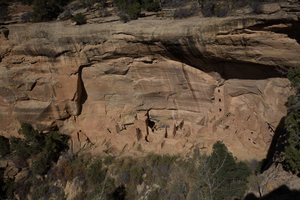
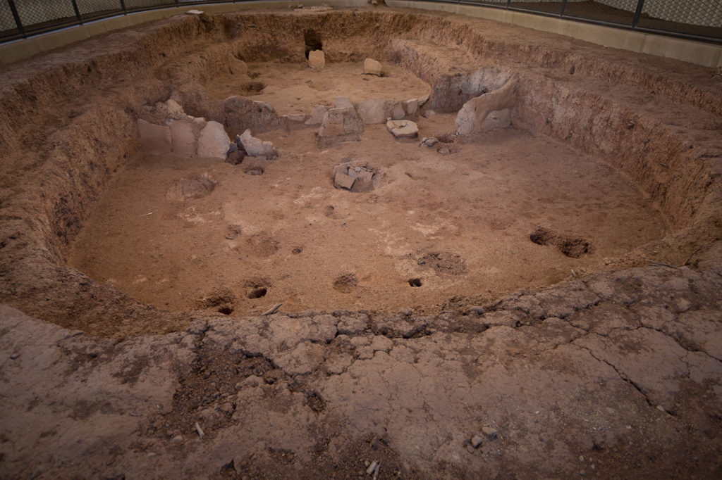
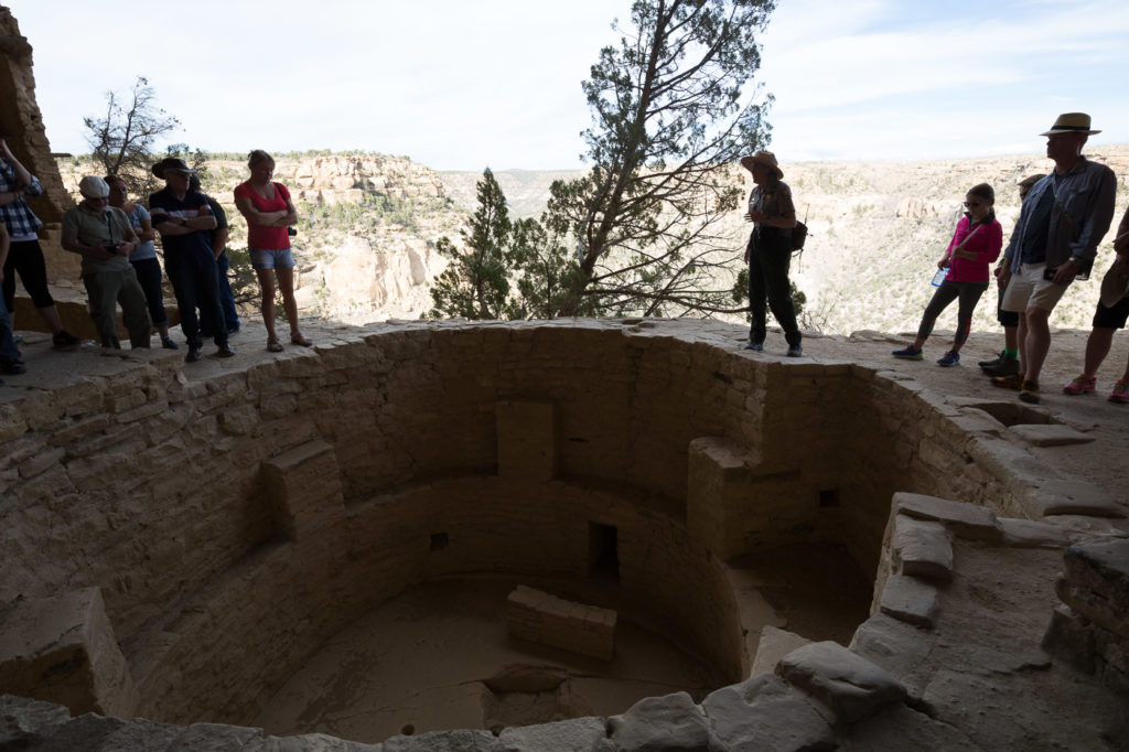
Following our above mentioned breakfast we left for a two hour drive to Mesa Verde which is a large canyon area with ancient remains of Puebloans dwellings and village buildings, similar to Hovenweep but much more extensive and well preserved. Lots of Mesa clifftop dwellings and Kivas are available to see, Kiva’s being underground pits that have been excavated and made into an area which has a central fireplace, a rooftop opening to clear the smoke, and a ventilation shaft to bring in fresh air. The Kivas are lined with sandstone bricks, and the timber roofs of course, no longer exist.
These were constructed from around 550AD, from which time the Ancestral Pueblo people gradually began to develop cliffside villages, which were constructed using sandstone bricks laid inside natural cavities in the cliff face. These reached their peak of sophistication between 1190 – 1270AD and represent the last stages of their lives there.
We took a tour of one of these houses, named The Balcony House. This tour was conducted by Park Ranger Margaret Gray, who was an attraction herself. Ranger Gray, as she called herself had a very high pitched squeaky voice, and was seriously weird. She did have one good joke though – after quoting the nationalities we had present, she asked, ” Are there any others here who I haven’t mentioned from any other country, apart from the United States or Texas?”
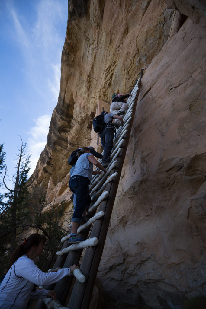
We entered the Balcony House by descending some steps and then climbing a 10 metre ladder resting up against the cliff face. This was a real challenge for Elly, who quietly freaks out about such things. Fortunately the ladder was wide enough for both of us to climb together and she made it with style.
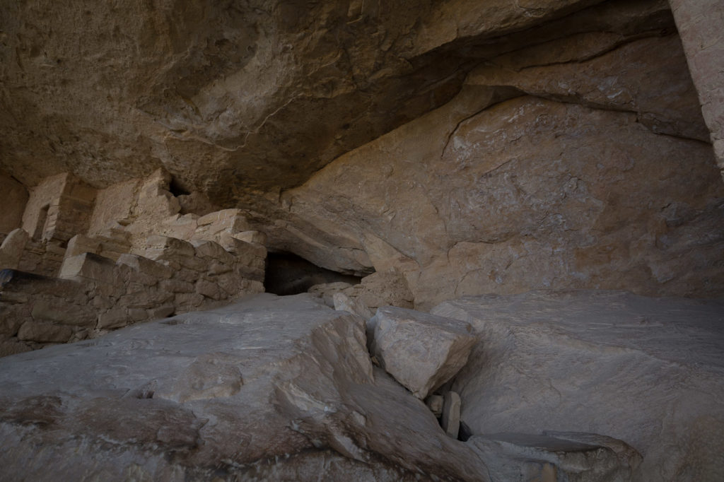
The Balcony House was named because of a small ledge/balcony protruding from beneath a couple of doors/windows that was still intact after 800 years. This was in an alcove area where we were standing, which also contained two Kiva’s which were very well preserved.
We then had to get down on hands and knees to crawl through a low narrow tunnel, followed by a climb up another ladder and then via footholds in the rock, which were original, but had been widened for the tourists.
Altogether it was a fun tour even with weird Ranger Gray.
Driving back to the hotel, passing through the town of Cortez, another good quote outside a pub:
“Beauty is in the eye of the beer holder!”
And this road sign amused us.
24 Oct
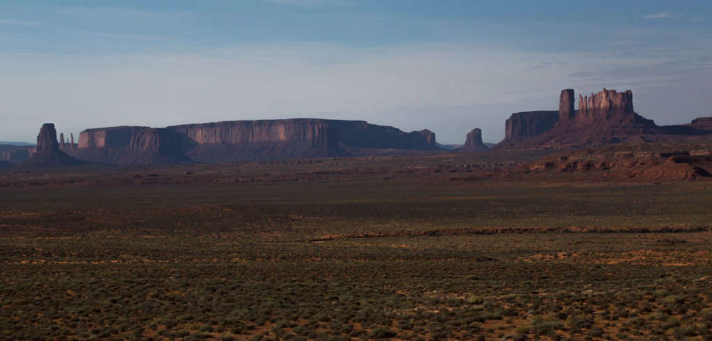
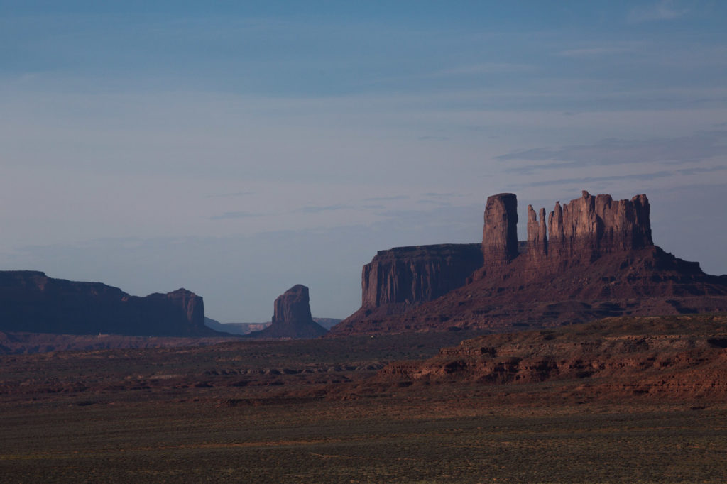
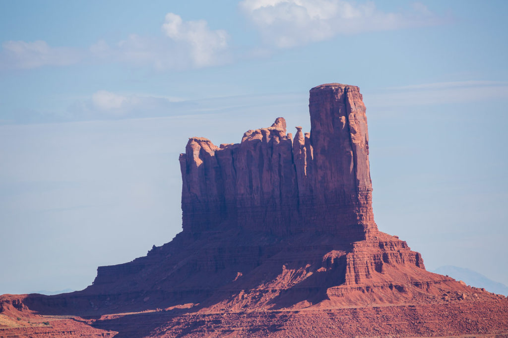
A relatively long drive through to the Grand Canyon. We stopped on the way at Monument Valley, which was quite interesting, and gave the history of the Navajo Indians in the area, with the accompanying gift shop which presented trinkets of local sandstone miniature Arches, and other things, including John Wayne souvenirs and also more John Wayne souvenirs. The surrounding scenery was typical John Wayne country, with desert interspersed with towering sandstone edifices, the survivors of millions of years of erosion.
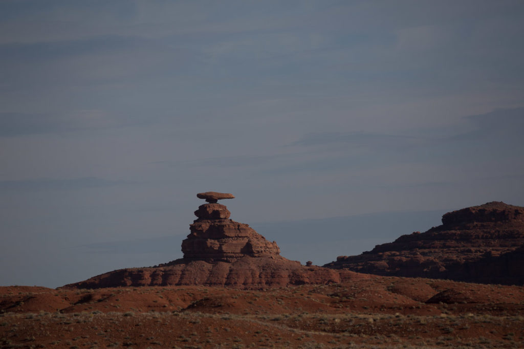
We passed by a very small town called Mexican Hat named after this rock
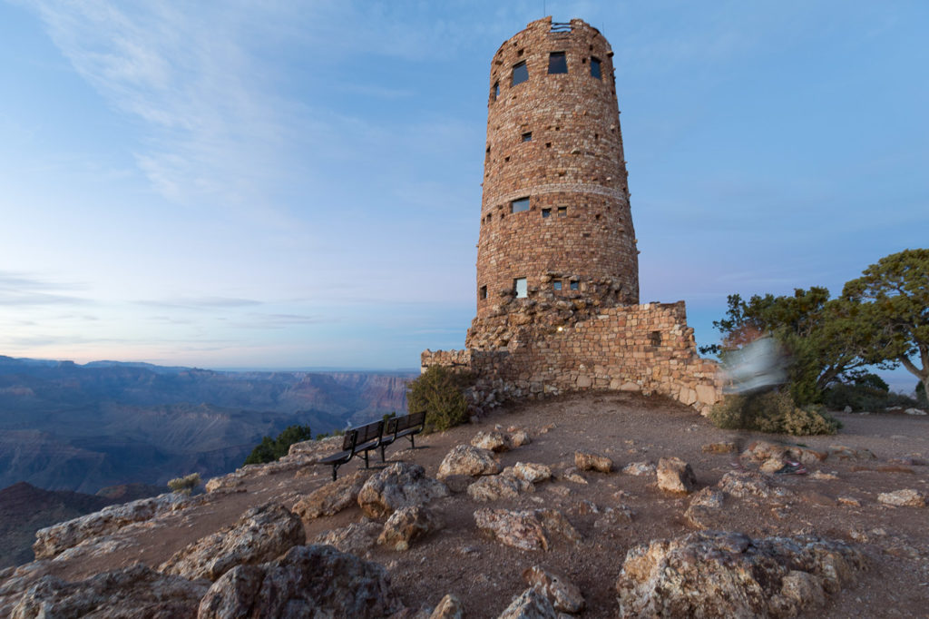
As we entered the Eastern entrance of the Grand Canyon we stopped at Desert View point which is the Eastern most point of access, some 20 miles from the main village centre. There is a large watch tower built at the site in 1932 by American architect Mary Colter, who chose every stone individually to make the tower not just a tower but a work of art.
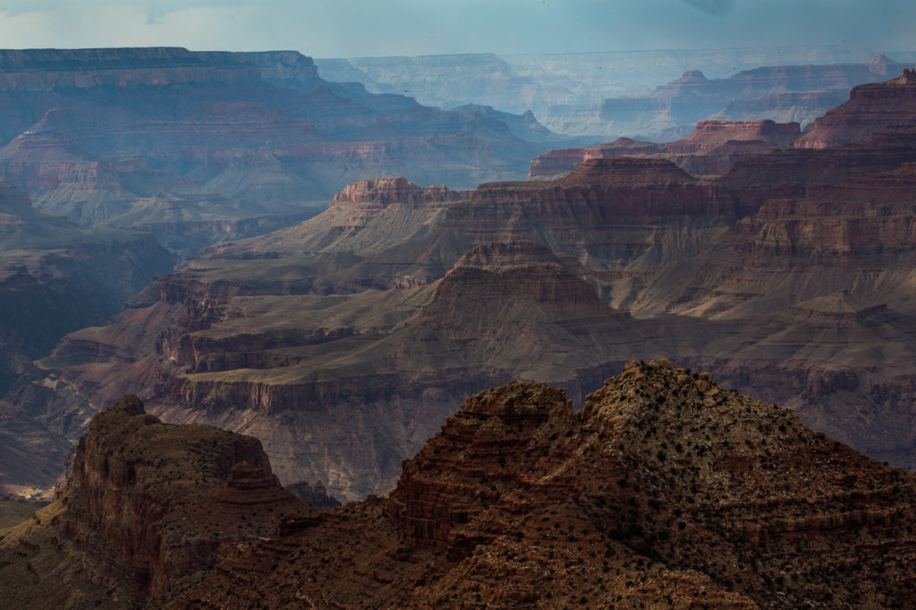
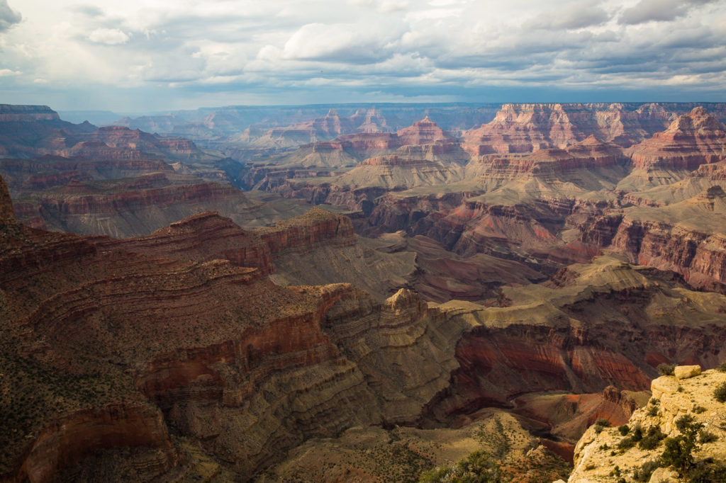
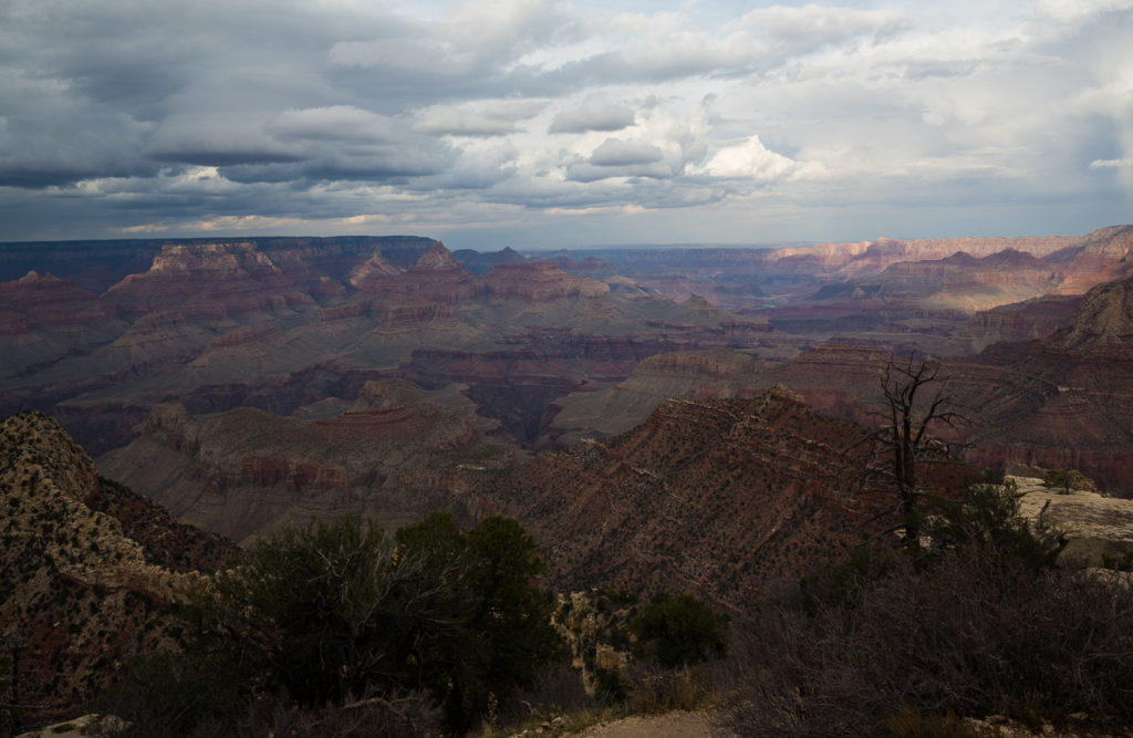
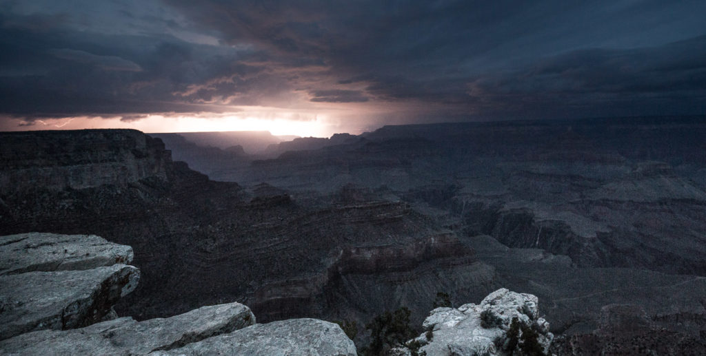
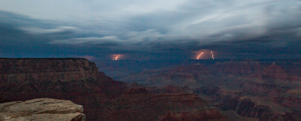
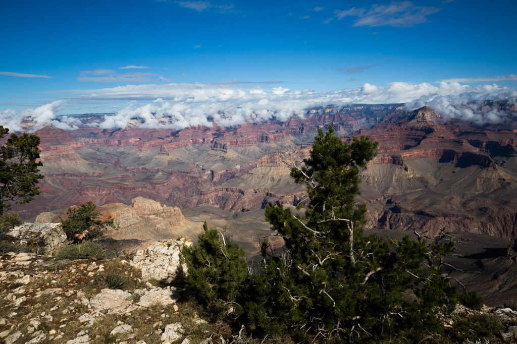
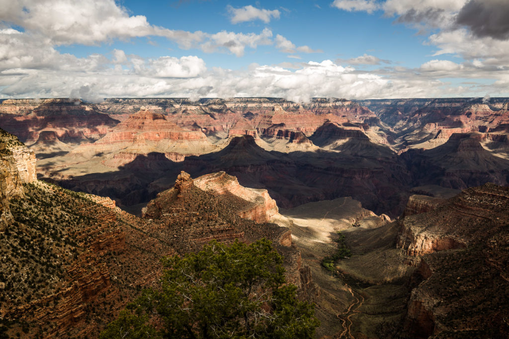
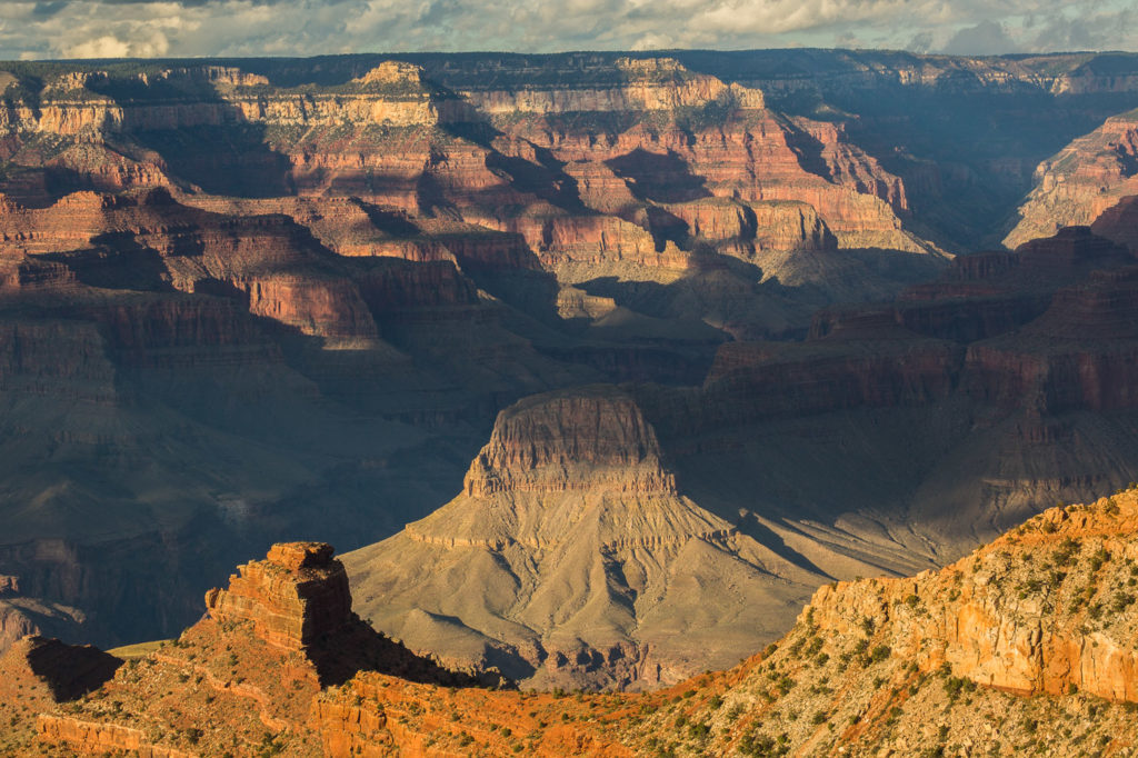
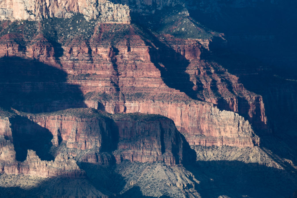
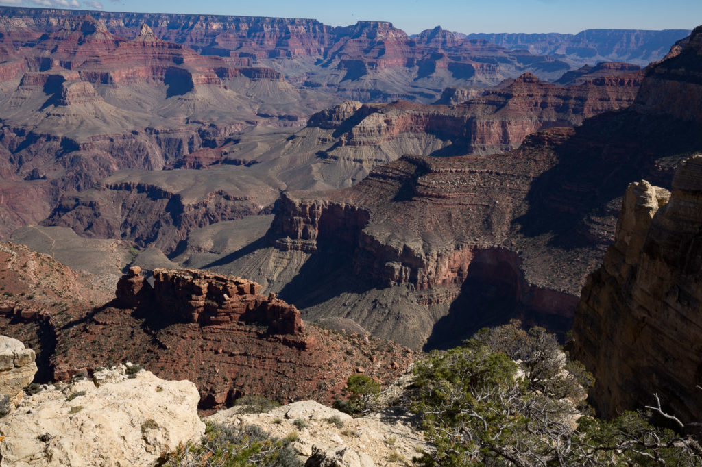
We had some beautiful views of the canyon from there and other spots along the way. Meanwhile some thunderstorms were starting to build up around us, and Elly was beside herself with the possibility of photographing thunderstorms over the Grand Canyon.
We had parked the car in the visitors centre, which is quite a distance from our hotel, and took one of the bus services to the point from where we would watch the sunset. The bus service is great, there is one operating the Eastern end of the park area, and one operating the Western end. These are free, and run about every 10 – 15 minutes.
The bus operates until an hour after sunset, so we reasoned that we would have enough time to catch the last bus after the sunset had done its thing.
The storms did give us a good show whilst avoiding raining on us, but Elly wasn’t totally happy with her results and continued on well after sunset trying to achieve that perfect shot.
Bev and Andrew decided that instead of standing in the cold and dark, they would catch the last bus back, and then drive out to pick us up, giving Elly more time to continue photographing.
Finally Elly had done all she could so we packed up and headed for the bus stop, which is where we were going to wait for Bev and Andrew.
it was pitch dark and we were using a torch, and when we arrived at the bus stop we found Bev and Andrew still there! It looked as though the last bus had gone and we might be stranded. Elly being Elly accosted some poor guy and asked him if he would take one of us (Andrew) to the visitors centre, so he could pick up the car.
This he agreed to do, and as they drove off, the bus arrived!!
We had to let that one go, and then another one arrived! We let that one go as well, and waited cold and shivering for Andrew to turn up, which he did, after first getting completely lost, so it was off to our hotel for a glass of red.
Much to Elly’s chagrin, we had a thunderstorm right over the lodge, and I had to remind her that if she was out there taking photos, she would be drenched.
25 Oct
It must be mentioned that this whole trip has been organised almost completely by Bev and Andrew, with Andrew researching and calculating the logistics of matching time available with must see places, and with Bev arranging bookings for many things. Elly and I have been consultants at best, so it has been like having our own personal travel agent.
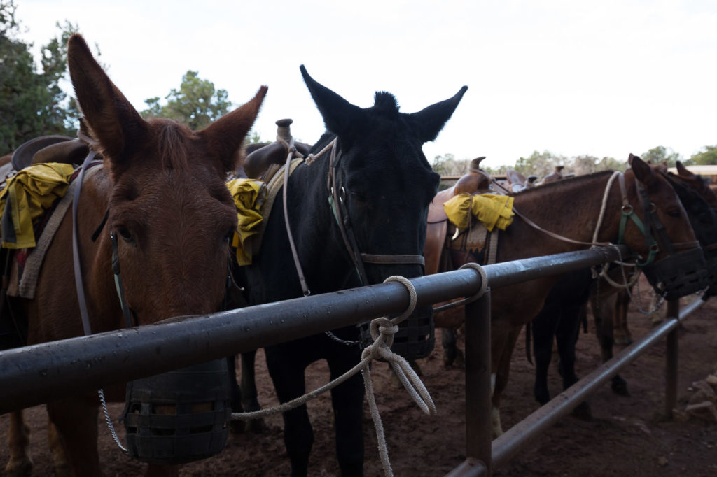
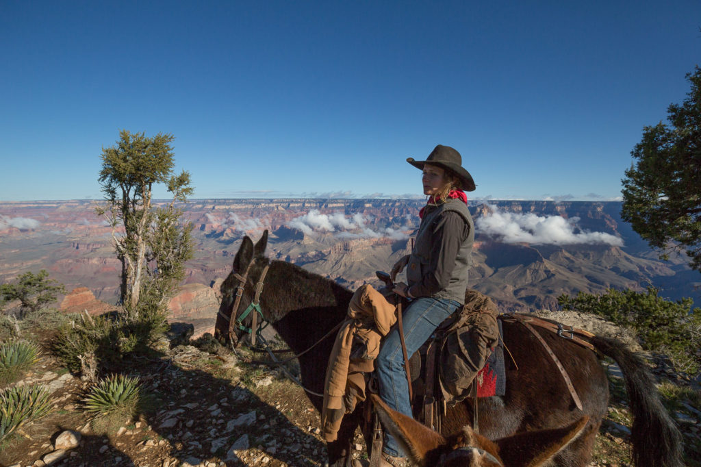
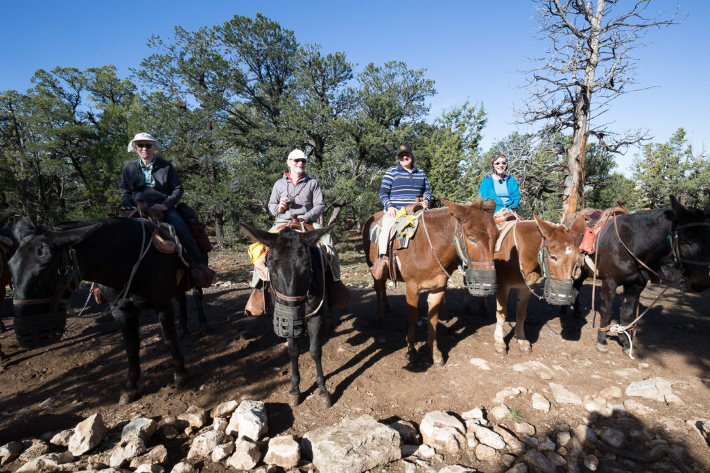
This morning Bev had arranged a mule ride along the Canyon rim for two hours. This was great fun, as we were looked after by Darcy, a typical cowgirl with a real love of all the mules, knowing the personalities of them all, and keeping us entertained along the way.
My mule was Sam, and according to Darcy, all he ever wanted to do was sleep. She said that even when we stopped along the way, Sam’s eyes would shut.
Even though she was very good with the mules, she has her own horse which she adores. She explained that mules are better than horses for this work, because they have a better sense of self preservation, and they can see their hind legs which horses can’t. Also they can go for days without water.
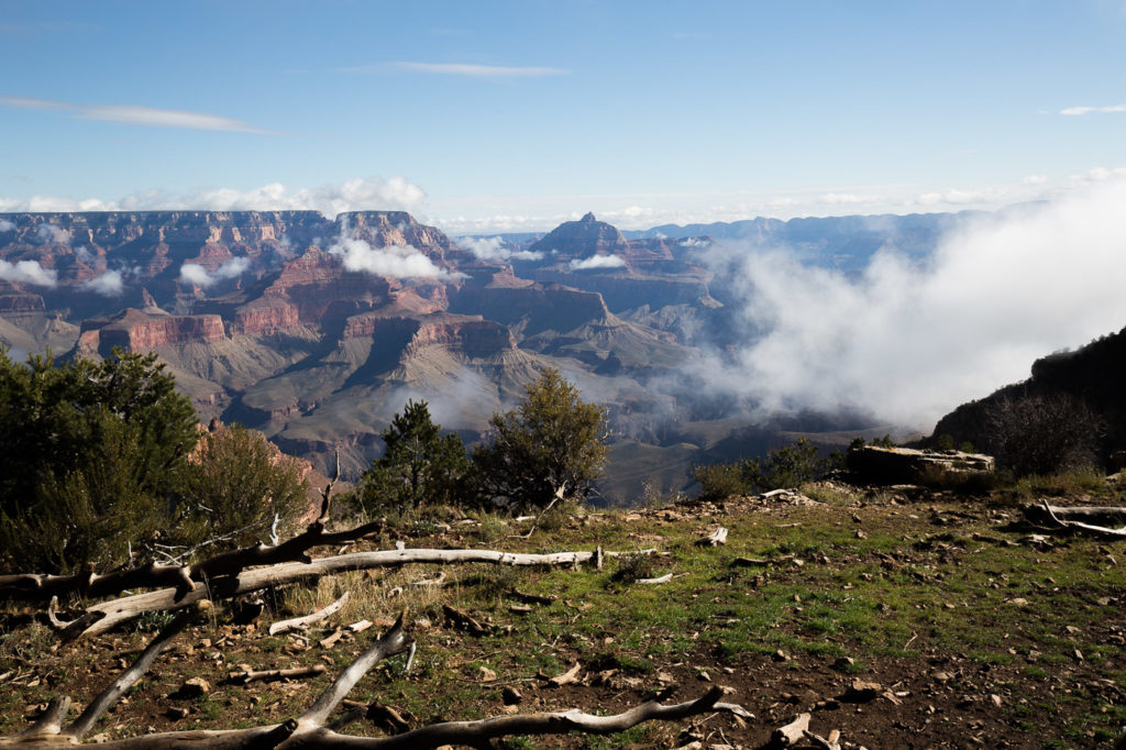
The Canyon was showing a different face, with cloud patches down in the valleys, as well as clouds flowing down deep into the Canyon whilst at the same time we had mist driving rapidly upwards along the cliff faces, sometimes enveloping us as we rode.
Darcy said that in the years she had been doing this she had never seen the clouds like that in the Canyon.
After we left our mules, Sam , Seymour, Judd and Macey, we weaved our way on stiff legs back to our rooms for a bit of electronic house keeping, trying to find a patch in the hotel foyer where wifi actually worked. The hotel was called the Bright Angel lodge, which was actually very nice, and we had cabins just a short walk away, but wifi in the cabins didn’t exist.
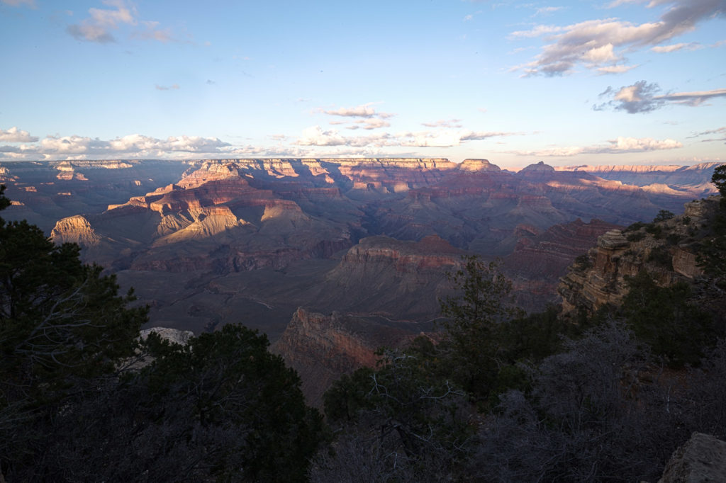
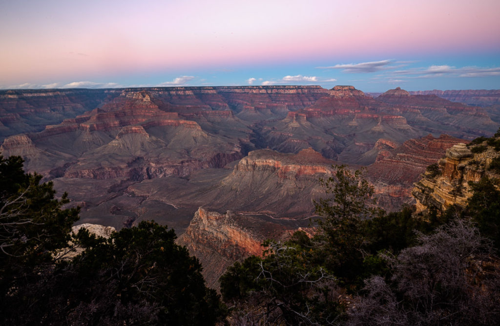
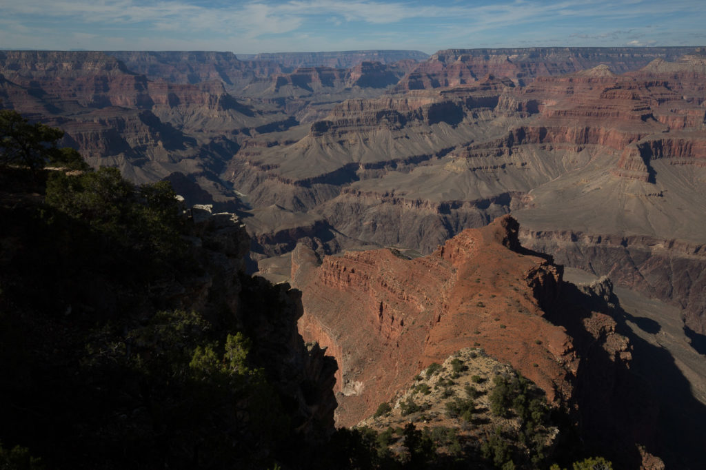
Afterwards we headed out for a sunset watch at a place on the Canyon rim named Yaki Point for Elly’ sunset fix then back for dinner.
26 Oct
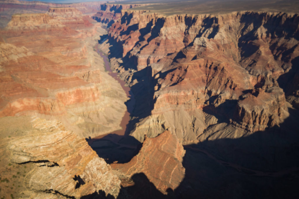
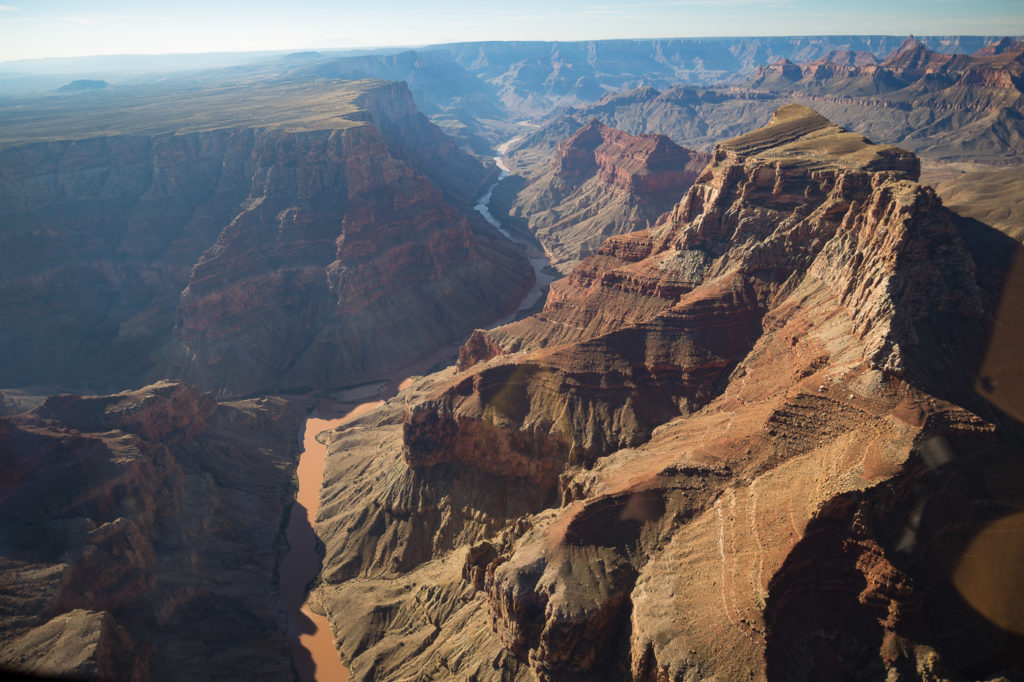
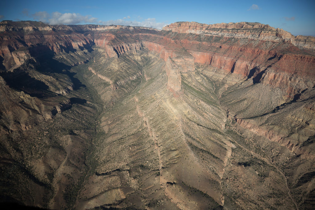
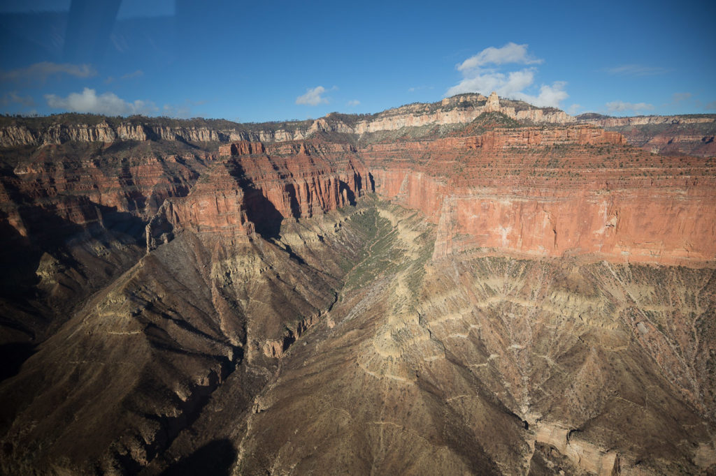
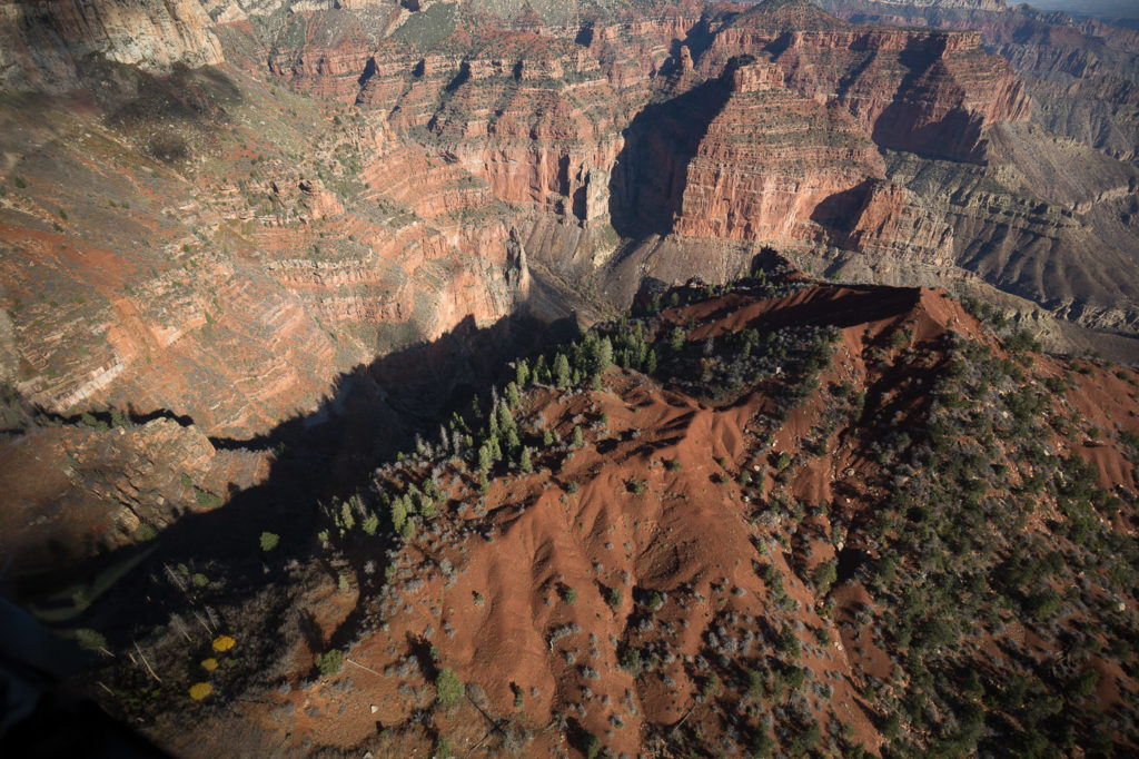
This morning Bev had arranged a helicopter ride over the Grand Canyon, with Papillon Helicopters, so we set off for the local airport which is quite a good sized facility. We went inside to check in but we’re told that we were in the wrong building, so we followed their instructions, and arrived at another building, which, sure enough had a sign Papillon Helicopters on the front. In we went to be told “Oh no you have to drive to this other building,” which when we arrived had Grand Canyon Helicopters written on it. This, for some reason was the correct building, with a row of six nice shiny helicopters all lined up.
Now, I have to say that I have never been a great fan of helicopters; I feel that there are too many really important bits whizzing around very fast, and the machine doesn’t perform very well if one of those bits falls off.
We were weighed, and told what we couldn’t take, which included most of Elly’s camera gear. We were then issued a little coloured card with a number on it. The colour was our helicopter group, and the number was our seat. All very efficient. Then we were directed out to the Tarmac where the whizzing bits were all starting to whiz.
The person directing us was this short stout martinet of a woman, who obviously enjoyed her position of power, and her bright hi-vis vest. She marshalled us to our helicopter, pointing vigorously to where we should be ( “You – there!”). We climbed into our seats, and as I was starting to buckle myself in she shoved my hands away and proceeded to do it for me. Obviously she thought this old idiot doesn’t have a clue.
Finally we were free of her, and left in the capable hands of our pilot Matt, and off we took!
The ride was really excellent, obviously the helicopters were well looked after and looked quite new. We all had headphones, so we could listen to Matt and also talk to him. The ride lasted 45 minutes and was spectacular as we flew down into sections of the Canyon with Matt giving us a really knowledgeable running commentary. Cameras were in action from all seats, and I thought that perhaps we have it wrong, we shouldn’t be looking at this through a viewfinder, we should just be taking it in ourselves, but the temptation is always too strong, and we want those pictures later.
Back we came, all thinking that longer would have been nice – even me!
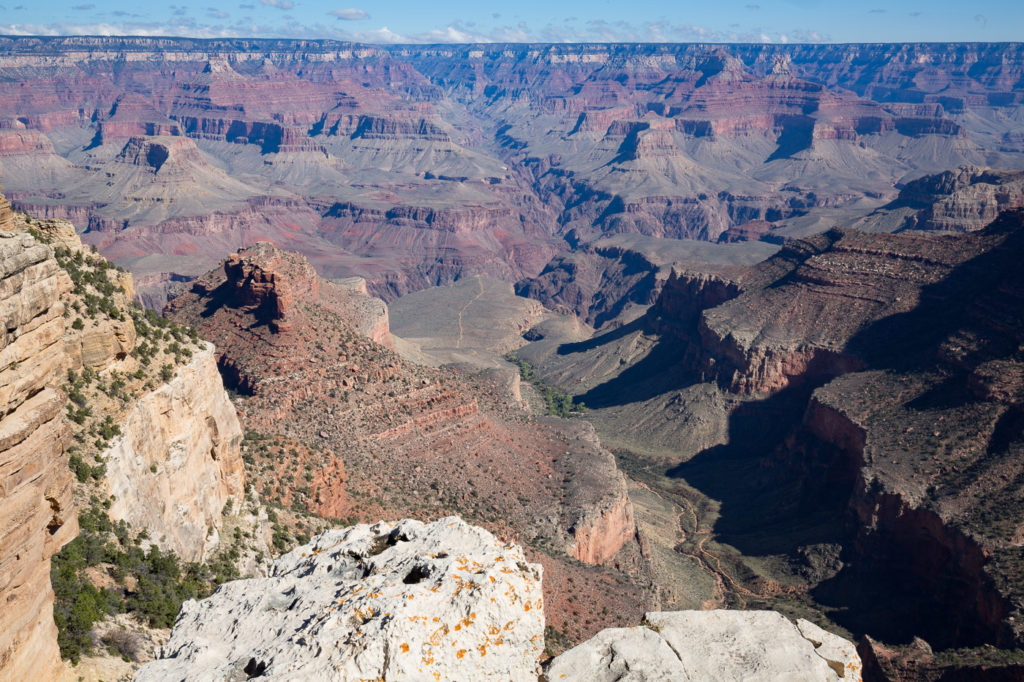
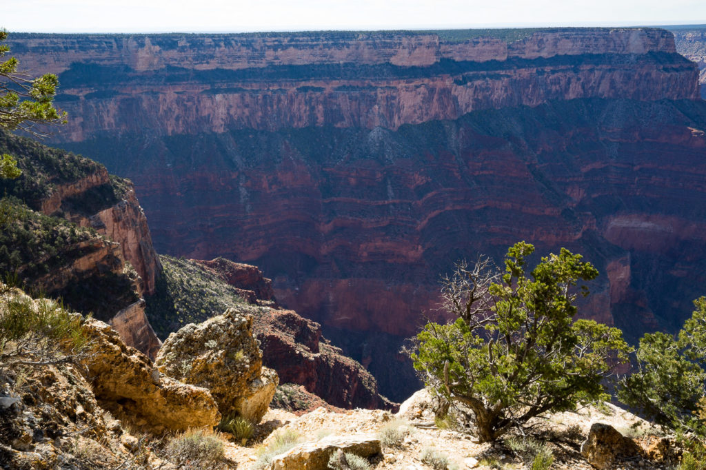
During the afternoon we decided to take one of the buses to investigate the rim to the west of the village, which is not accessible by car. The bus route, the Red Route, follows a loop which takes 80 mins and is a hop on, hop off system. We went to the first stop, spent some photo time there, then walked to the next couple of lookout points along the rim, then back on the bus for the longer sections. The view from each spot was always spectacular but with a different perspective from the last.
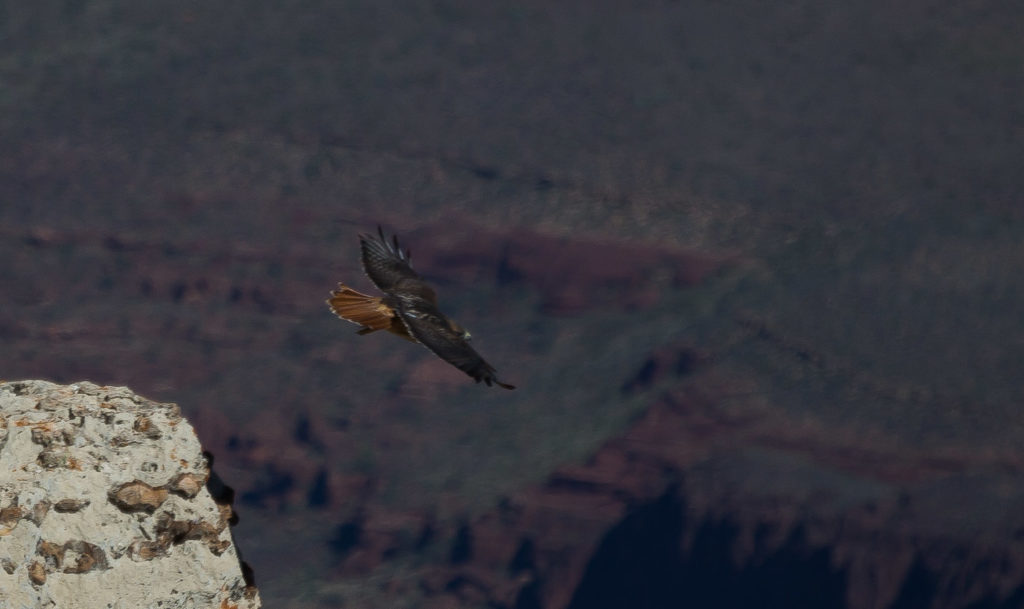
- Yellow tail hawk
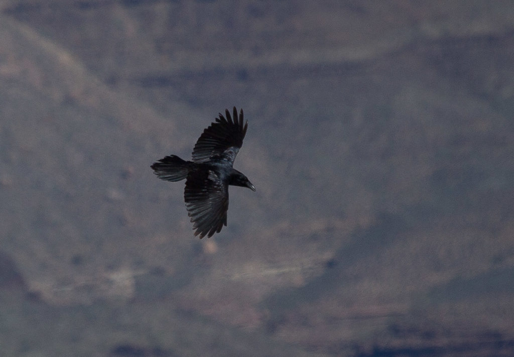
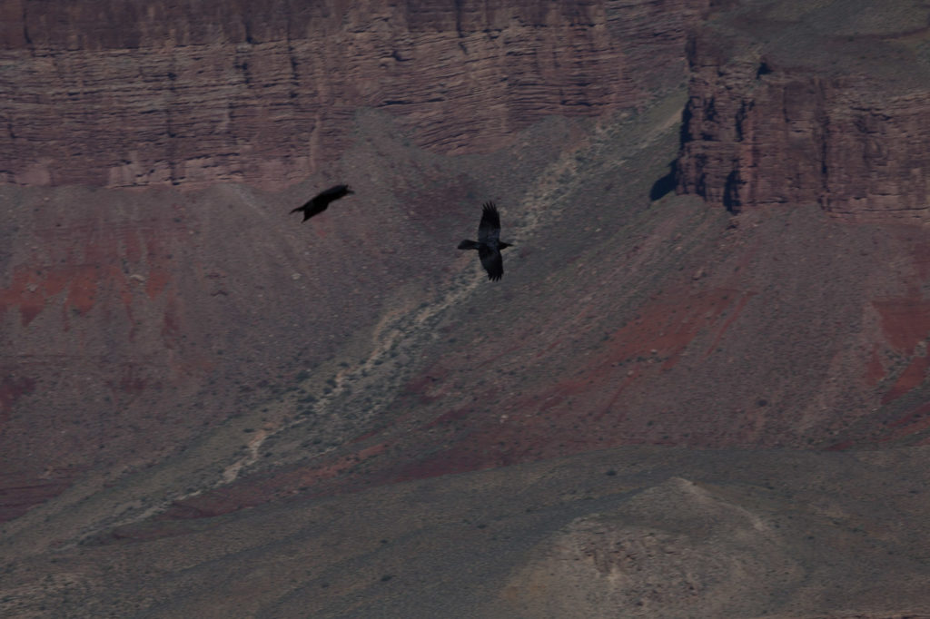
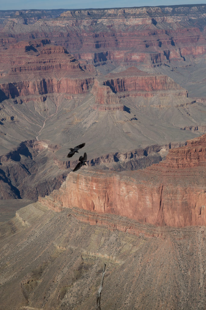
- Soaring Ravens
- Ravens soaring off the cliffs
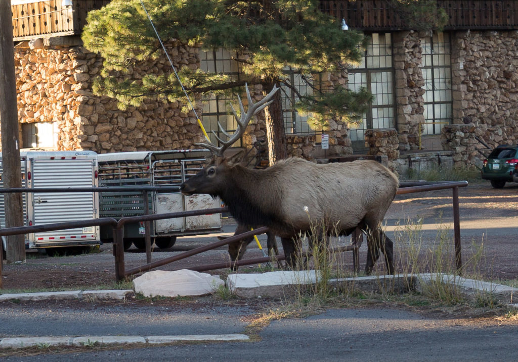
- Male elk roaming in the village
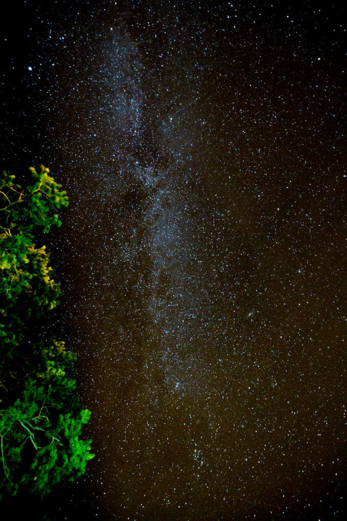
- Milky Way
Eventually Andrew and I wimped out out and headed back, whilst Bev and Elly pushed on.
More electronic house keeping for me before dinner at El Tovar, an upmarket lodge a little way from the Bright Angel, and an exhausted fall into bed. The last night at the Grand Canyon.
27 Oct
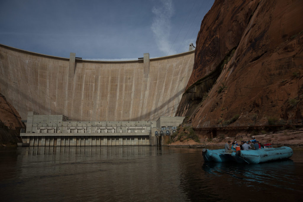
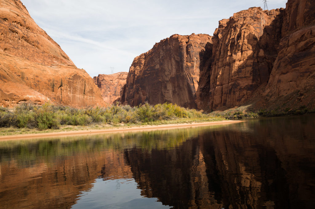
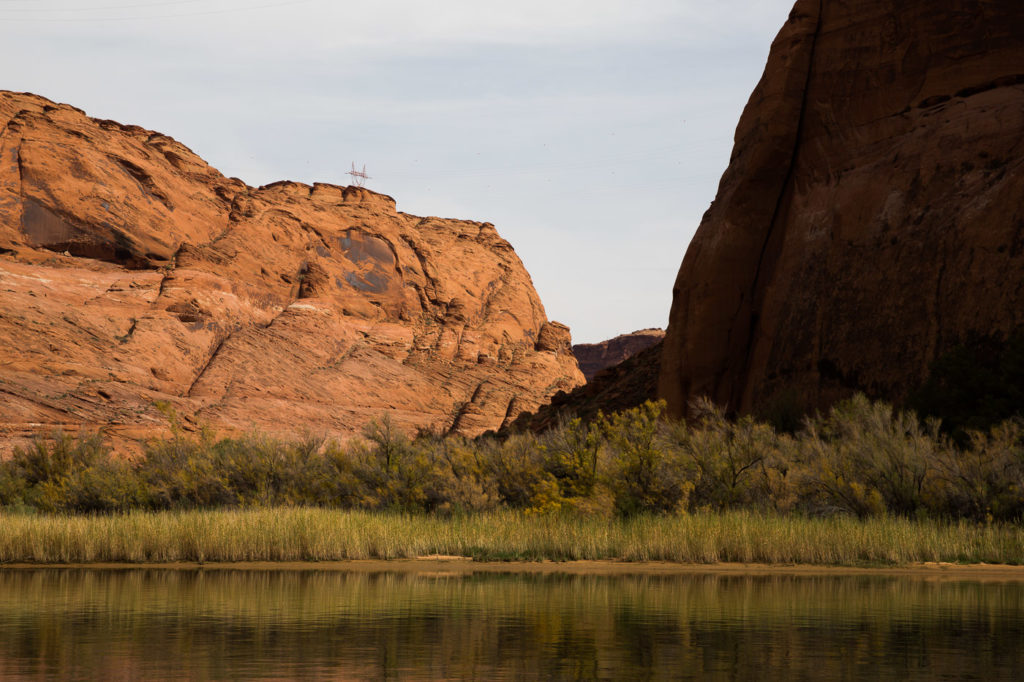
Up early to drive from the Grand Canyon to the town of Page, where Bev had booked us for a raft trip on the Colorado River. This began with a bus trip which took us through a 2 mile tunnel running through the wall of the canyon, down to the river, below the wall of the Glen Canyon dam, which forms Lake Powell behind it. Below it is a hydro electric power station, then the river becomes its normal self, winding between vertical walls, 300 metres high either side. We had to don hard hats between getting off the bus and arriving at the jetty, because we were walking under a bridge across the canyon! OHS!!!
We were on a large raft, with our guide/driver, Steve, who took things at a leisurely pace, whilst giving us the statistics and the history of the area, and the story of the exploration of the Colorado River. We cruised down slowly, passing a few boats fishing, and even some guys doing the wading thing up to their waists casting lines.
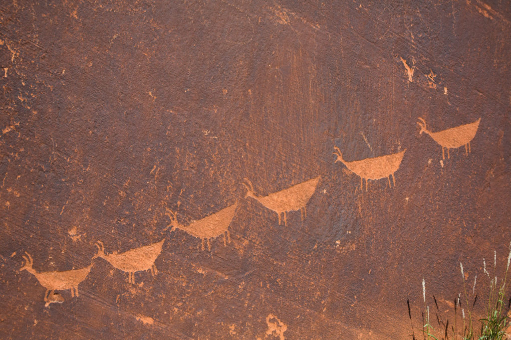
We stopped at a bend in the river which had a little sand beach, and walked a little way to see some petroglyphs on the rock face. They are the etched sketches done over three periods, the first being around 5000 years ago, the next being some thousands of years later, by the people of the same era as those who created the cliff houses at Mesa Verde, and the most recent were done in the last 500 years by the Navajo.
28 Oct
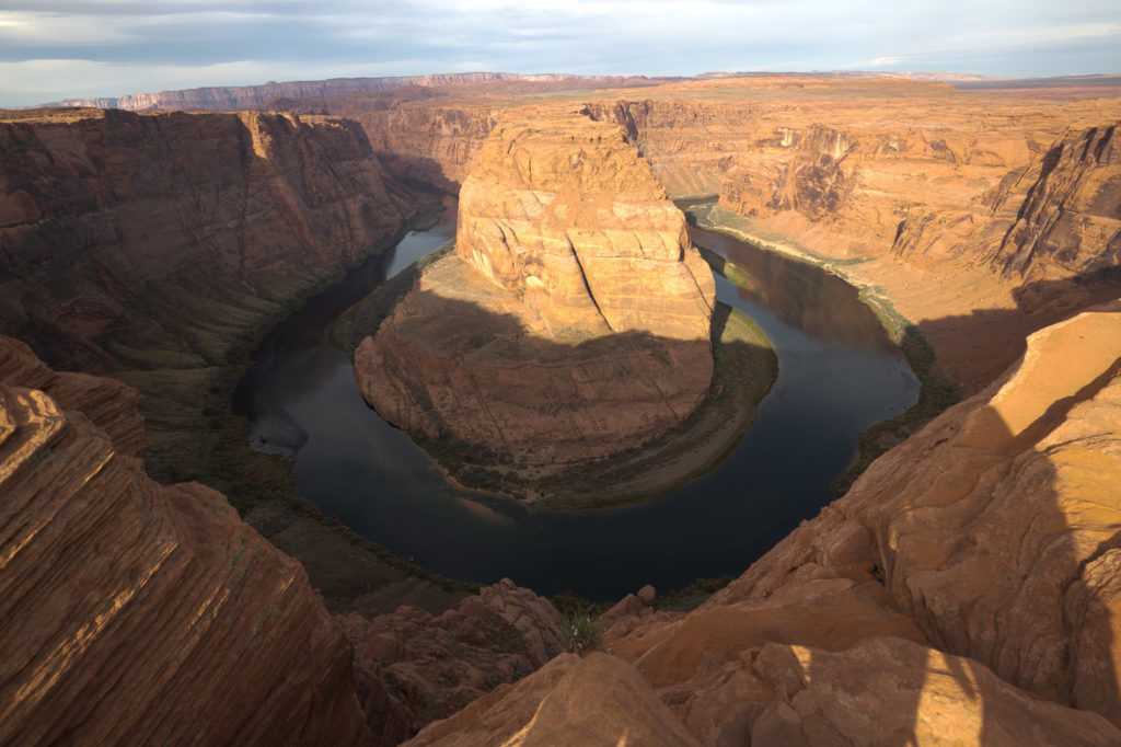
A morning drive not far from Page to find Horse Shoe Bend. This vantage spot looks down into the canyon where the Colorado River makes a U – turn, a place where, in fact, we had been on our raft the day before. A beautiful outlook, and once again, no fence or barrier to stop you stepping off the edge and falling 300 metres.
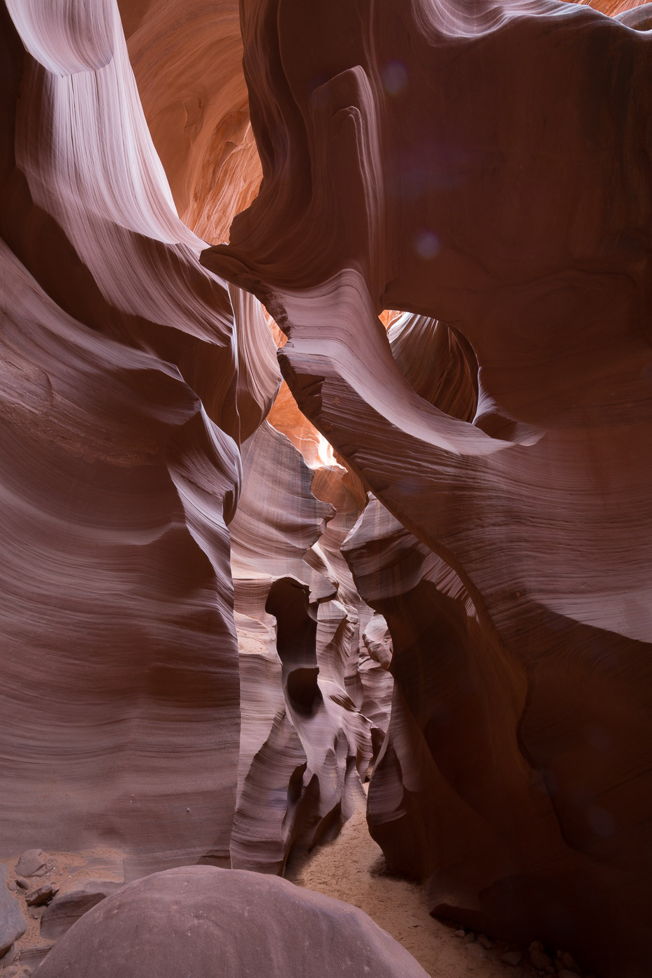
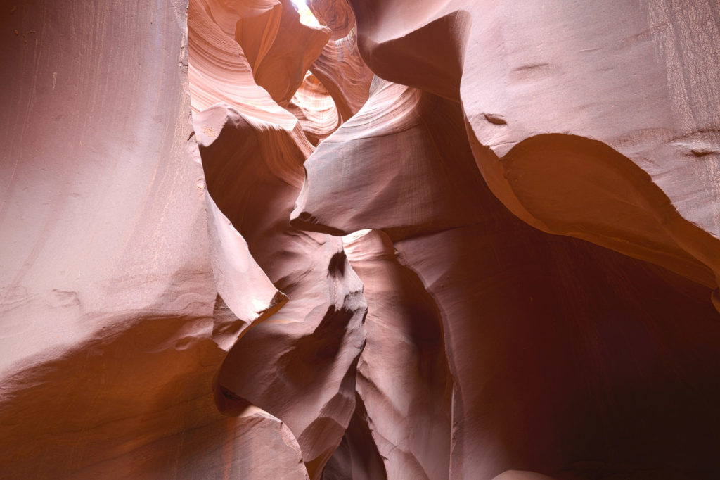
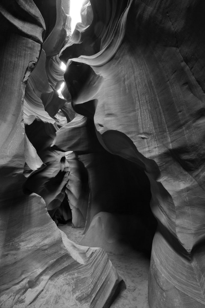
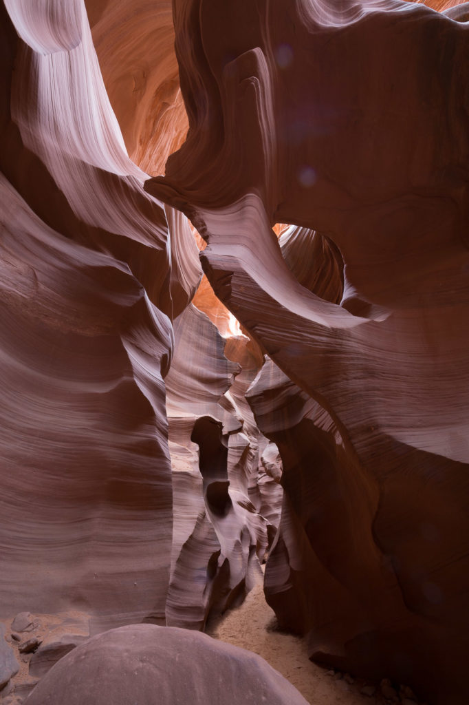
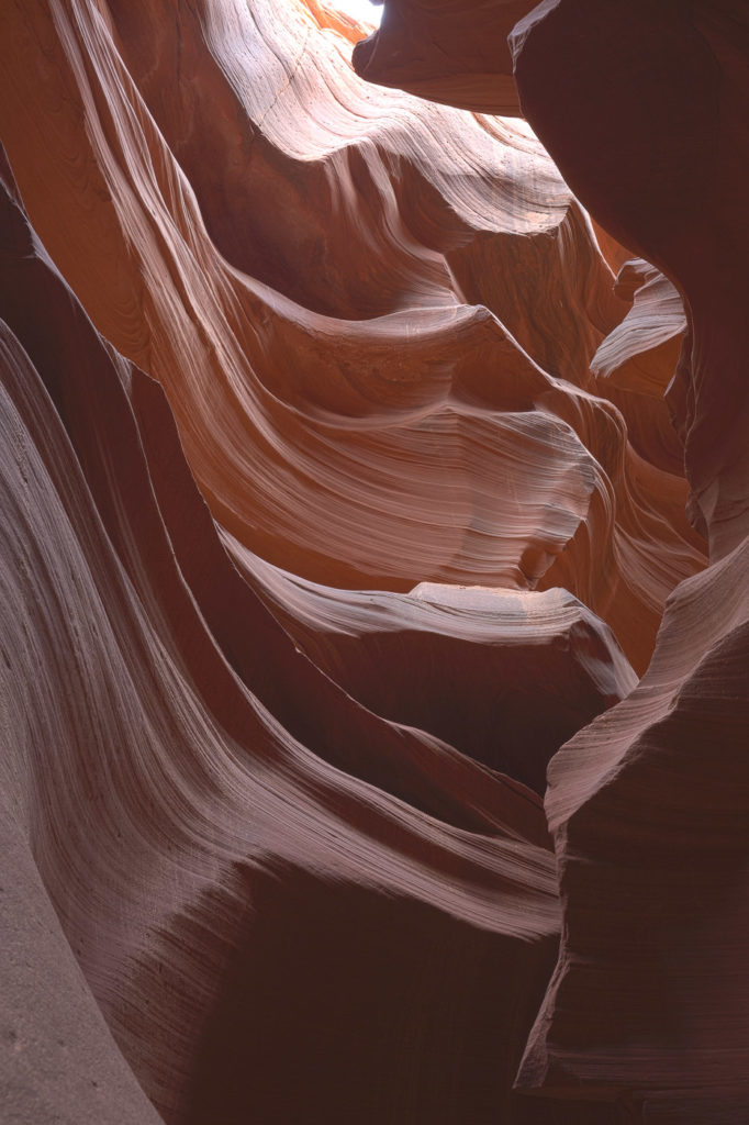
Next stop was to the access point for a guided tour of the Lower Antelope Canyon. You can do a normal tour or a photographer’s tour. Bev and Andrew took the normal tour, whilst Elly and her pack mule took the photographer’s tour. Both tours covered the same ground, but the photographers had right of way, and our guide would block off an area until the photos were taken, then marshall the “ordinary people” through. This means that the normal tour runs for a little over an hour, whilst the photo tour runs for two hours, due to all the time spent stopping and photographing.
Our guide, Vernon, was fantastic. He gave lots of hints about how to make the best of each shot, and he made Elly’s camera and tripod talk.
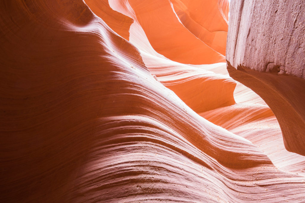
The canyon itself was amazing, as we entered through a narrow path between rocks, and climbed down into a beautiful cavern like environment with sculptured shapes on all sides, all of orange/pink coloured sandstone layer upon layer. Walking along on the sandy floor, we passed from space to space, each with its own variation of surrounding wall shapes and patterns. This whole area has been carved out of the rock by the force of the water which flows through after heavy rains, which generally happen around July and August.
